
IMAGES TAKEN NEAR TO
Tyn Y Wern, PORTH, CF39 8AW
Introduction
This page details the photographs taken nearby to Tyn Y Wern, CF39 8AW by members of the Geograph project.
The Geograph project started in 2005 with the aim of publishing, organising and preserving representative images for every square kilometre of Great Britain, Ireland and the Isle of Man.

There are currently over 7.5m images from over14,400 individuals and you can help contribute to the project by visiting https://www.geograph.org.uk
Image Map
Images are licensed for reuse under creativecommons.org/licenses/by-sa/2.0
Notes
- Clicking on the map will re-center to the selected point.
- The higher the marker number, the further away the image location is from the centre of the postcode.
Image Listing (29 Images Found)
Images are licensed for reuse under creativecommons.org/licenses/by-sa/2.0
Image
Details
Distance
1
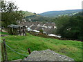
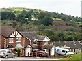
Thomastown Rhondda
Housing development inches up the hillside encroaching upon small fields where horse paddocks and a variety of huts and pigeon lofts are located above the Rhondda.
Image: © Mick Lobb
Taken: 25 Sep 2008
0.06 miles
4
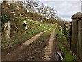
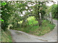
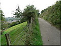
Tylchfa Fach Farm
Track leading to Tylchfa Fach Farm.
Image: © Alan Hughes
Taken: 9 Mar 2017
0.07 miles
8
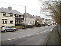
Heol Isaf, Tonyrefail
Heol Isaf is a group of 16 houses along the north side Ely Valley Road, in SE Tonyrefail near the boundary with Coed Ely (also spelt Coedely).
Image: © Jaggery
Taken: 9 Feb 2011
0.09 miles
10
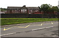
Zigzag markings on Francis Street, Thomastown
Part of the Keep Clear Zone (no parking or stopping) outside Cwmlai Primary School.
Image: © Jaggery
Taken: 24 Aug 2017
0.15 miles