1
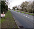
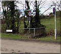
Gateway to Nottage Court
Gateway to Nottage Court, Porthcawl
Image: © Alan Hughes
Taken: 8 Dec 2015
0.00 miles
2
Shop Next Right, Nottage
The direction sign alongside a lamppost faces westbound traffic
on the road to Nottage from the junction of the A4106 and A4229.
Image: © Jaggery
Taken: 4 Mar 2017
0.04 miles
3
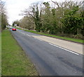
Road to Nottage
From the junction of the A4106 and A4229.
Image: © Jaggery
Taken: 4 Mar 2017
0.05 miles
4
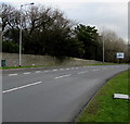
Unnamed road descends away from Nottage
From the eastern edge of Nottage towards the roundabout at the A4106/A4229 junction.
Image: © Jaggery
Taken: 4 Mar 2017
0.05 miles
5
Brown directions sign at the edge of Nottage
Facing westbound traffic on the approach to Nottage.
Brown signs show places of tourist or leisure interest.
Examples here include a nature reserve and a golf course.
Image: © Jaggery
Taken: 4 Mar 2017
0.06 miles
6
This way to Nottage and Kenfig
The sign points towards the centre of Nottage (Notais in Welsh) and to Kenfig (Cynffig in Welsh).
Image: © Jaggery
Taken: 4 Mar 2017
0.08 miles
7
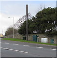
Telecoms mast and cabinets, Nottage
At the eastern edge of Nottage, alongside the road west from the junction of the A4106 and A4229.
Image: © Jaggery
Taken: 4 Mar 2017
0.08 miles
8
Boulevard de St-S?bastien-sur-Loire name sign, Porthcawl
The name sign on the left is alongside the A4106. As this sign http://www.geograph.org.uk/photo/5241802 elsewhere in Porthcawl shows,
Porthcawl is twinned with Saint-Sébastien-sur-Loire in Brittany.
Image: © Jaggery
Taken: 4 Mar 2017
0.09 miles
9
Play area, Forge Way, Porthcawl
Image: © Alex McGregor
Taken: 14 Jun 2011
0.09 miles
10
Junction of Fulmar Road and South Road, Nottage
The white arrow on the brown sign showing Silures points left along South Road.
Image: © Jaggery
Taken: 4 Mar 2017
0.09 miles


