1
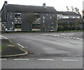
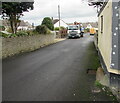
Waterton Road, Coychurch
The dead-end southern part of Waterton Road viewed from the Treoes Road junction.
Image: © Jaggery
Taken: 23 Nov 2020
0.01 miles
2
Distinctive house in Coychurch
Apparently being renovated in November 2020.
Image: © Jaggery
Taken: 23 Nov 2020
0.03 miles
3
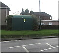
Dark green cabinet, Hawthorn Drive, Coychurch
The cabinet is a Western Power Distribution electricity substation.
Its identifier is NEW BRYNFFRWD S/S 56-1268.
Image: © Jaggery
Taken: 23 Nov 2020
0.04 miles
4
Evergreen and deciduous, Treoes Road, Coychurch
Contrasting trees viewed on November 23rd 2020.
Image: © Jaggery
Taken: 23 Nov 2020
0.04 miles
5
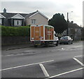
Sainsbury's home delivery van in Coychurch
Viewed across Hawthorn Drive in November 2020.
Image: © Jaggery
Taken: 23 Nov 2020
0.04 miles
6
Entrance to the Health Care & Safety Unit, Coychurch
From Hawthorn Drive. Text on the board https://www.geograph.org.uk/photo/6687099 on the left includes
SOUTH WALES POLICE OCCUPATIONAL HEALTH UNIT
HEALTH CARE & SAFETY UNIT
DRUGS ARE NOT KEPT ON THESE PREMISES.
The text is also in Welsh.
Image: © Jaggery
Taken: 23 Nov 2020
0.04 miles
7
Drugs are not kept on these premises, Coychurch
On the board on the left here. https://www.geograph.org.uk/photo/6687098
Image: © Jaggery
Taken: 23 Nov 2020
0.04 miles
8
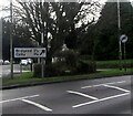
Direction and distances sign in Coychurch
2½ miles from Bridgend, 1¾ miles from Coity.
Image: © Jaggery
Taken: 23 Nov 2020
0.05 miles
9
Treoes Road, Coychurch
Treoes Road leads to Brynffrwd Close.
Image: © Jaggery
Taken: 23 Nov 2020
0.05 miles
10
Best Kept Village of the Year sign, Coychurch
Text on the sign includes VALE OF GLAMORGAN 1989-1995 which is puzzling because Coychurch is in Bridgend County Borough, not the Vale of Glamorgan.
Image: © Jaggery
Taken: 23 Nov 2020
0.06 miles


