1
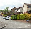
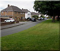
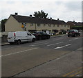
Duncan Close, Cardiff
Viewed from the corner of Canopus Close, adjacent to Greenway Road.
Various sources put Duncan Close in Rumney, St Mellons or Old St Mellons. Boundaries of communities within towns and cities are not usually shown on maps.
Image: © Jaggery
Taken: 20 May 2010
0.03 miles
2
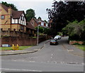
Meadvale Road, Cardiff
Cul-de-sac on the west side of Greenway Road.
Image: © Jaggery
Taken: 22 Jun 2017
0.05 miles
3
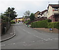
Duncan Close, Cardiff
Cul-de-sac ascending from Canopus Close. http://www.geograph.org.uk/photo/5436894
Image: © Jaggery
Taken: 22 Jun 2017
0.06 miles
4
Row of houses, Greenway Road, Cardiff
Under scaffolding on June 22nd 2017. The house on the right is on the corner of Hendre Road.
Image: © Jaggery
Taken: 22 Jun 2017
0.08 miles
5
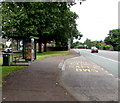
Mount Pleasant Avenue bus stop and shelter, Llanrumney, Cardiff
Alongside the B4487 Newport Road near the Mount Pleasant Avenue junction.
In early July 2017 the bus stop sign shows that buses on four routes stop here -
the 30 route to Newport, X16 to Risca, X45 to St Mellons and 65 to Heath Hospital.
Image: © Jaggery
Taken: 4 Jul 2017
0.08 miles
6
Greenway Road pedestrian refuge, Cardiff
The refuge is near a dark green telecoms cabinet on the corner of Meadvale Road.
Image: © Jaggery
Taken: 22 Jun 2017
0.08 miles
7
Axbridge Crescent, Llanrumney, Cardiff
This part of Axbridge Crescent is parallel with the B4487 Newport Road to the right of the trees.
Image: © Jaggery
Taken: 4 Jul 2017
0.09 miles
8
Greenway Road houses, Cardiff
Row of houses between Hendre Road and Meadvale Road.
Image: © Jaggery
Taken: 22 Jun 2017
0.09 miles
9
Western end of Hendre Road, Cardiff
Hendre Road descends from the east side of Greenway Road.
Image: © Jaggery
Taken: 22 Jun 2017
0.09 miles
10
Houses above the corner of Canopus Close and Duncan Close, Cardiff
Duncan Close http://www.geograph.org.uk/photo/5436880 is on the left.
Image: © Jaggery
Taken: 22 Jun 2017
0.10 miles


