
IMAGES TAKEN NEAR TO
Holmesdale Street, CARDIFF, CF11 7BW
Introduction
This page details the photographs taken nearby to Holmesdale Street, CF11 7BW by members of the Geograph project.
The Geograph project started in 2005 with the aim of publishing, organising and preserving representative images for every square kilometre of Great Britain, Ireland and the Isle of Man.

There are currently over 7.5m images from over14,400 individuals and you can help contribute to the project by visiting https://www.geograph.org.uk
Image Map
Images are licensed for reuse under creativecommons.org/licenses/by-sa/2.0
Notes
- Clicking on the map will re-center to the selected point.
- The higher the marker number, the further away the image location is from the centre of the postcode.
Image Listing (64 Images Found)
Images are licensed for reuse under creativecommons.org/licenses/by-sa/2.0
Image
Details
Distance
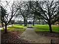
3
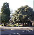
Northeast corner of Grange Gardens, Grangetown, Cardiff
This corner of the park is bordered by Corporation Road and Holmesdale Street.
Grange Gardens is a small Victorian park in Grangetown. The land was given to Cardiff Corporation in 1892 by Lord Windsor and Lord Bute. It was officially opened on June 19th 1895 and still has something of a Victorian character.
Image: © Jaggery
Taken: 5 Feb 2010
0.04 miles
6
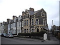
Terraced houses, Pentrebane St, Cardiff
The acute-angled junction of street and lane leaves space for a separate porch for the end house.
Image: © John Lord
Taken: 24 Feb 2011
0.07 miles
7
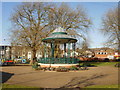
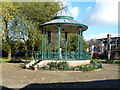
Bandstand, Grange Gardens, Cardiff
The bandstand is the focal point of Grange Gardens, a small late-Victorian park in Grangetown. The original bandstand was demolished in the 1920s. This one is a modern replica, in the same spot as the original.
Image: © Jaggery
Taken: 5 Feb 2010
0.07 miles
8
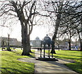
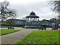
Samuel memorial, Grange Gardens, Cardiff
The view SW along the central path through the small park. In the distance is a bandstand.http://www.geograph.org.uk/photo/1972315
Near the camera is a metal structure presented to the city of Cardiff in 1908 by the Samuel brothers as a memorial to their brother, Lewin L. Samuel, who died in 1893 aged 39. There is a curious inscription on each side of the structure : KEEP THE PAVEMENT DRY. Some kind of Edwardian health and safety measure, perhaps?
Image: © Jaggery
Taken: 5 Feb 2010
0.07 miles
9
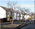
Ystrad Street, Grangetown, Cardiff
Viewed from the Corporation Road end. Trees and concrete posts (behind the camera) prevent vehicular access to and from Corporation Road. Vehicles must enter Ystrad Street from the other end, via Taff Embankment.
Image: © Jaggery
Taken: 5 Feb 2010
0.07 miles
10
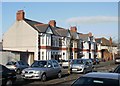
Aber Street, Grangetown, Cardiff
Houses on the west side of Aber Street, viewed from the Corporation Road end.
Image: © Jaggery
Taken: 5 Feb 2010
0.07 miles