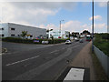
IMAGES TAKEN NEAR TO
Hollands Road, HAVERHILL, CB9 8SA
Introduction
This page details the photographs taken nearby to Hollands Road, CB9 8SA by members of the Geograph project.
The Geograph project started in 2005 with the aim of publishing, organising and preserving representative images for every square kilometre of Great Britain, Ireland and the Isle of Man.

There are currently over 7.5m images from over14,400 individuals and you can help contribute to the project by visiting https://www.geograph.org.uk
Image Map
Images are licensed for reuse under creativecommons.org/licenses/by-sa/2.0
Notes
- Clicking on the map will re-center to the selected point.
- The higher the marker number, the further away the image location is from the centre of the postcode.
Image Listing (36 Images Found)
Images are licensed for reuse under creativecommons.org/licenses/by-sa/2.0
Image
Details
Distance
2
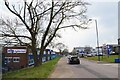
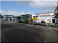
Industrial Units in Hollands Rd
Looking towards the B1057.
Image: © Glyn Baker
Taken: 20 Apr 2021
0.03 miles
5
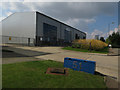
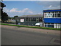
Keronite, Hollands Road
New building on Hollands Road, Haverhill.
Image: © Hugh Venables
Taken: 20 Sep 2015
0.06 miles
6
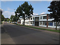
Hollands Road
Advanced Fiber Products, an American company making novel fibre optic connectivity products.
Image: © Hugh Venables
Taken: 20 Sep 2015
0.09 miles
8
Haverhill CV&HR railway station (site), Suffolk
Opened in 1863 as the terminus of the Colne Valley & Halstead Railway, this station lost much of its passenger traffic to Haverhill ("North", see Image) after 1885 and it closed completely to passengers as early as 1924. It was kept open (as "Haverhill South") for goods until 1965.
View north west along the former track-bed towards the site of the buffers. The single platform was to the right of the track and the small station building roughly where the modern building now is. No trace survives, except in the name of the nearby "Colne Valley Road".
For more information, see http://www.disused-stations.org.uk/h/haverhill_cvh/index.shtml
Image: © Nigel Thompson
Taken: 3 Sep 2020
0.11 miles