IMAGES TAKEN NEAR TO
Seamark Drive, ELY, CB6 2GQ
Introduction
This page details the photographs taken nearby to Seamark Drive, CB6 2GQ by members of the Geograph project.
The Geograph project started in 2005 with the aim of publishing, organising and preserving representative images for every square kilometre of Great Britain, Ireland and the Isle of Man.

There are currently over 7.5m images from over14,400 individuals and you can help contribute to the project by visiting https://www.geograph.org.uk
Image Map
Images are licensed for reuse under creativecommons.org/licenses/by-sa/2.0
Notes
- Clicking on the map will re-center to the selected point.
- The higher the marker number, the further away the image location is from the centre of the postcode.
Image Listing (23 Images Found)
Images are licensed for reuse under creativecommons.org/licenses/by-sa/2.0
Image
Details
Distance
1
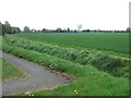
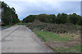
Distant water tower
At the start of a footpath leading to Sutton In The Isle, Cambridgeshire
Image: © Richard Humphrey
Taken: 5 May 2010
0.02 miles
2
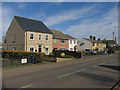
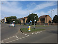
Laithwaite Gardens, Sutton
Linden Homes development.
Image: © Hugh Venables
Taken: 6 Oct 2019
0.10 miles
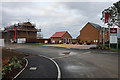
3

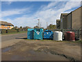
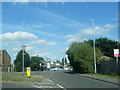
Sutton fire station
Sutton fire station, Mepal Road, Sutton, Cambridgeshire
Image: © Kevin Hale
Taken: 4 Dec 2007
0.13 miles