IMAGES TAKEN NEAR TO
Pymoor Lane, ELY, CB6 2EF
Introduction
This page details the photographs taken nearby to Pymoor Lane, CB6 2EF by members of the Geograph project.
The Geograph project started in 2005 with the aim of publishing, organising and preserving representative images for every square kilometre of Great Britain, Ireland and the Isle of Man.

There are currently over 7.5m images from over14,400 individuals and you can help contribute to the project by visiting https://www.geograph.org.uk
Image Map
Images are licensed for reuse under creativecommons.org/licenses/by-sa/2.0
Notes
- Clicking on the map will re-center to the selected point.
- The higher the marker number, the further away the image location is from the centre of the postcode.
Image Listing (8 Images Found)
Images are licensed for reuse under creativecommons.org/licenses/by-sa/2.0
Image
Details
Distance
2
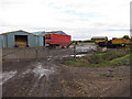
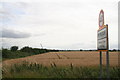
Lane Farm
Farming operation on Pymoor Lane
Image: © Chris Heaton
Taken: 15 Aug 2024
0.08 miles
3
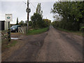
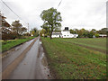
Pymoor Lane
Looking past Drivecare, a Land Rover specialist.
Image: © Hugh Venables
Taken: 3 Nov 2012
0.09 miles
4
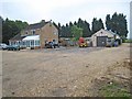
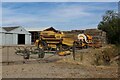
Jubilee Cottage, Pymore
The operational base for Savage Haulage, one of the many hauliers in the district.
Image: © Oliver Dixon
Taken: 7 Jun 2007
0.12 miles
7
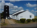
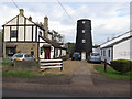
The Old Mill in Pymoor
For a photo and report in 1930 see http://pymoor.ccan.co.uk/content/catalogue_item/pymoor-mill-pymoor-lane-pymoor
According to the village sign it was a pumping mill but it looks more like a corn mill to me and information on http://www.eastcambs.gov.uk/category/towns-villages/pymoor appears to confirm it as it was connected to a bakery.
Image: © Richard Humphrey
Taken: 19 Jul 2013
0.22 miles