IMAGES TAKEN NEAR TO
Holdsworth Drive, CB6 1TB
Introduction
This page details the photographs taken nearby to Holdsworth Drive, CB6 1TB by members of the Geograph project.
The Geograph project started in 2005 with the aim of publishing, organising and preserving representative images for every square kilometre of Great Britain, Ireland and the Isle of Man.

There are currently over 7.5m images from over14,400 individuals and you can help contribute to the project by visiting https://www.geograph.org.uk
Image Map
Images are licensed for reuse under creativecommons.org/licenses/by-sa/2.0
Notes
- Clicking on the map will re-center to the selected point.
- The higher the marker number, the further away the image location is from the centre of the postcode.
Image Listing (9 Images Found)
Images are licensed for reuse under creativecommons.org/licenses/by-sa/2.0
Image
Details
Distance
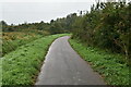
1
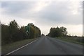
Road Bend On Grange Lane
Bend on Grange Lane Littleport, Cambridgeshire.
Image: © Keith Evans
Taken: 15 Aug 2017
0.06 miles
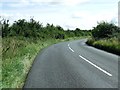
2
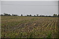
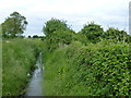
Footpath from Grange Lane, Littleport
Image: © Richard Humphrey
Taken: 9 Jun 2013
0.10 miles
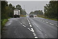
6
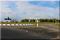
Roundabout near Littleport
What appears to be a brand new roundabout on the A10.
Image: © Oliver Dixon
Taken: 7 Jun 2007
0.22 miles
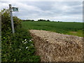
7
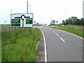
Ditch at the end of Wood Fen Road, Littleport
This road is now truncated by the A10
Image: © Richard Humphrey
Taken: 9 Jun 2013
0.23 miles