IMAGES TAKEN NEAR TO
Hurst Park Avenue, CAMBRIDGE, CB4 2AB
Introduction
This page details the photographs taken nearby to Hurst Park Avenue, CB4 2AB by members of the Geograph project.
The Geograph project started in 2005 with the aim of publishing, organising and preserving representative images for every square kilometre of Great Britain, Ireland and the Isle of Man.

There are currently over 7.5m images from over14,400 individuals and you can help contribute to the project by visiting https://www.geograph.org.uk
Image Map
Images are licensed for reuse under creativecommons.org/licenses/by-sa/2.0
Notes
- Clicking on the map will re-center to the selected point.
- The higher the marker number, the further away the image location is from the centre of the postcode.
Image Listing (43 Images Found)
Images are licensed for reuse under creativecommons.org/licenses/by-sa/2.0
Image
Details
Distance
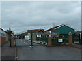
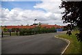
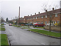
4
Courtney Way, New Chesterton, Cambridge
The entrance to Castle School is ahead.
Image: © David Purchase
Taken: 14 Mar 2012
0.13 miles
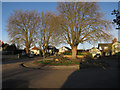
5
Milton Road Primary School
The school recently moved to new premises in Ascham Road. For the previous site see Image
Image: © Tiger
Taken: 9 Aug 2007
0.14 miles
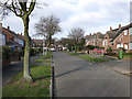
10
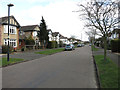
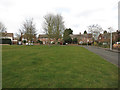
Brimley Road, Arbury, Cambridge on New Year's Day 2006
View NW at noon on New Year's Day; overcast, light rain and 5.3°C.
Image: © Rodney Burton
Taken: 1 Jan 2006
0.17 miles