IMAGES TAKEN NEAR TO
Corn Lane, CAMBRIDGE, CB2 9NZ
Introduction
This page details the photographs taken nearby to Corn Lane, CB2 9NZ by members of the Geograph project.
The Geograph project started in 2005 with the aim of publishing, organising and preserving representative images for every square kilometre of Great Britain, Ireland and the Isle of Man.

There are currently over 7.5m images from over14,400 individuals and you can help contribute to the project by visiting https://www.geograph.org.uk
Image Map
Images are licensed for reuse under creativecommons.org/licenses/by-sa/2.0
Notes
- Clicking on the map will re-center to the selected point.
- The higher the marker number, the further away the image location is from the centre of the postcode.
Image Listing (218 Images Found)
Images are licensed for reuse under creativecommons.org/licenses/by-sa/2.0
Image
Details
Distance
1
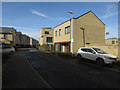
Glebe Farm Road
Named after what used to be here. Part of the expansion of southern Cambridge.
Image: © Hugh Venables
Taken: 4 Mar 2017
0.02 miles
2
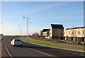
On Addenbrooke's Road
Addenbrooke's Road is a direct route from the hospital and the Cambridge Biomedical Campus to the M11 and A10. The new houses are part of the huge development west of the railway and east and south of Trumpington.
Image: © John Sutton
Taken: 1 Dec 2013
0.04 miles
3

Novo, a housing development
Marketing suite for a housing development.
Image: © Michael Trolove
Taken: 26 Apr 2014
0.04 miles
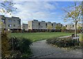
5
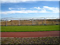
Last view before the houses
Expanding Cambridge, preparing for new homes.
Image: © Mr Ignavy
Taken: 29 Oct 2011
0.04 miles
6
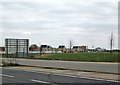
The new southern edge of Cambridge
Addenbrooke's Road and the fringe of a new estate for which the developers have conjured up the name Great Kneighton, seen from the main road. Addenbrooke's Hospital chimney is on the skyline to the right of the houses and the left of the crane.
Image: © John Sutton
Taken: 21 Mar 2013
0.05 miles
7
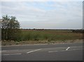
Farmland at the southern fringe of Cambridge.
The new hospital access road is being built through the middle of this.
Image: © Mr Ignavy
Taken: 10 Apr 2008
0.05 miles
8
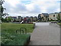
Play area in front of Tebbit Street
The building with two sloping roofs is known as Carter House. It is on the corner of Tebbit Street and Glebe Farm Drive.
Image: © Fernweh
Taken: 7 Aug 2016
0.05 miles