IMAGES TAKEN NEAR TO
Bishops Road, CAMBRIDGE, CB2 9NR
Introduction
This page details the photographs taken nearby to Bishops Road, CB2 9NR by members of the Geograph project.
The Geograph project started in 2005 with the aim of publishing, organising and preserving representative images for every square kilometre of Great Britain, Ireland and the Isle of Man.

There are currently over 7.5m images from over14,400 individuals and you can help contribute to the project by visiting https://www.geograph.org.uk
Image Map
Images are licensed for reuse under creativecommons.org/licenses/by-sa/2.0
Notes
- Clicking on the map will re-center to the selected point.
- The higher the marker number, the further away the image location is from the centre of the postcode.
Image Listing (301 Images Found)
Images are licensed for reuse under creativecommons.org/licenses/by-sa/2.0
Image
Details
Distance
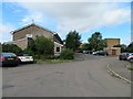
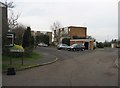
3
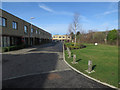
Glebe Farm Drive
The edge between the recent Glebe Farm development and the old edge of Cambridge.
Image: © Hugh Venables
Taken: 4 Mar 2017
0.02 miles
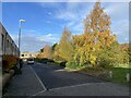
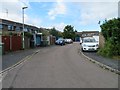
8
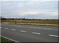
Road works & farm land
This is the point where the slip road for the Addenbrooke's access road will leave the Hauxton Road coming out of Cambridge.
Image: © Mr Ignavy
Taken: 10 Apr 2008
0.03 miles