
IMAGES TAKEN NEAR TO
Baker Lane, CAMBRIDGE, CB2 9DS
Introduction
This page details the photographs taken nearby to Baker Lane, CB2 9DS by members of the Geograph project.
The Geograph project started in 2005 with the aim of publishing, organising and preserving representative images for every square kilometre of Great Britain, Ireland and the Isle of Man.

There are currently over 7.5m images from over14,400 individuals and you can help contribute to the project by visiting https://www.geograph.org.uk
Image Map
Images are licensed for reuse under creativecommons.org/licenses/by-sa/2.0
Notes
- Clicking on the map will re-center to the selected point.
- The higher the marker number, the further away the image location is from the centre of the postcode.
Image Listing (419 Images Found)
Images are licensed for reuse under creativecommons.org/licenses/by-sa/2.0
Image
Details
Distance
1
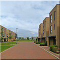
Clay Farm: along Baker Lane
This is part of the huge new housing estate east and south of the older parts of Trumpington, the southernmost suburb of Cambridge. Part of the Cambridge Biomedical Campus shows in the distance - Royal Papworth Hospital is the blue building.
Image: © John Sutton
Taken: 25 Jun 2021
0.02 miles
2
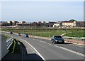
On Addenbrooke's Road
Part of the huge Clay Farm (Great Kneighton) housing estate, seen from the slope to the railway bridge.
Image: © John Sutton
Taken: 5 Oct 2014
0.02 miles
3
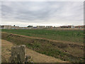
Great Kneighton development
Looking over Hobson's Brook.
Image: © Hugh Venables
Taken: 21 Aug 2014
0.02 miles
4
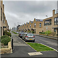
Trumpington: along Todd Street
A side street on the huge Clay Farm estate east of the older parts of Trumpington.
Image: © John Sutton
Taken: 30 Mar 2022
0.03 miles
5
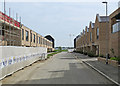
A new street at Clay Farm (Great Kneighton)
The houses to the right are occupied, those to the left unfinished. In the distance, on the other side of the railway, is one of the cranes on the Biological Support Building site on the edge of the Cambridge Biomedical Campus.
(Estimated grid references are as correct as I can make them as mapping has not yet caught up with construction.)
Image: © John Sutton
Taken: 30 Apr 2017
0.03 miles
6
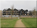
Is this England?
The design of these new homes reminded me more of the Netherlands or Germany. These houses are facing Hobson's Brook and the new country park. Not a bad slot within the whole development. The road they are situated on is called Southwell Drive. These houses were referred to as "The Robinson" in the marketing material. Their first sale price at the time of completion in 2016/17 was between £950,000 and £1,025,000.
See Image shortly before work started and Image for this location before any of the development had started.
Image: © Fernweh
Taken: 22 Feb 2017
0.04 miles
8
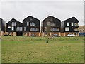
New builds in Southwell Drive
These houses were referred to as "The Robinson" in the marketing material. Their first sale price at the time of completion in 2016/17 was between £950,000 and £1,025,000.
Image: © Fernweh
Taken: 22 Feb 2017
0.05 miles
9
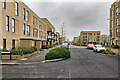
Trumpington: along Whittle Avenue
A street on the huge Clay Farm estate east of the older parts of Trumpington.
Image: © John Sutton
Taken: 30 Mar 2022
0.05 miles
10
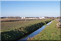
View along Hobson's Brook
The landscape all around has radically changed over the last seven years (since 2008), however, the brook has been left untouched and still follows the same course from Nine Wells into Cambridge town centre.
Image: © Fernweh
Taken: 28 Dec 2014
0.05 miles