
IMAGES TAKEN NEAR TO
Chaucer Road, CAMBRIDGE, CB2 7EB
Introduction
This page details the photographs taken nearby to Chaucer Road, CB2 7EB by members of the Geograph project.
The Geograph project started in 2005 with the aim of publishing, organising and preserving representative images for every square kilometre of Great Britain, Ireland and the Isle of Man.

There are currently over 7.5m images from over14,400 individuals and you can help contribute to the project by visiting https://www.geograph.org.uk
Image Map
Images are licensed for reuse under creativecommons.org/licenses/by-sa/2.0
Notes
- Clicking on the map will re-center to the selected point.
- The higher the marker number, the further away the image location is from the centre of the postcode.
Image Listing (545 Images Found)
Images are licensed for reuse under creativecommons.org/licenses/by-sa/2.0
Image
Details
Distance
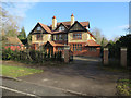
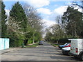
3
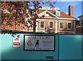
Serious Security
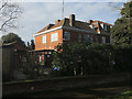
The property is not even occupied yet! An amazing build in the current economic climate. The original property was demolished and this massive house known as Vicarsbrook has been erected. At the bottom end of the garden is a swimming pool and changing rooms.
Image: © Mr Ignavy
Taken: 28 Oct 2008
0.02 miles
5
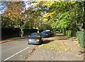
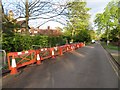
Chaucer Road
Looking towards the western end.
Image: © Mr Ignavy
Taken: 28 Oct 2008
0.03 miles
8
Cognition and Brain Sciences Unit, Chaucer Road
Image: © Hugh Venables
Taken: 6 Mar 2016
0.04 miles
10
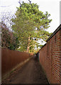
Path to Coe Fen
A path from Chaucer Road to the footpath across Coe Fen (ahead).
Image: © John Sutton
Taken: 6 Jan 2018
0.05 miles