IMAGES TAKEN NEAR TO
Twentypence Road, CAMBRIDGE, CB24 8PP
Introduction
This page details the photographs taken nearby to Twentypence Road, CB24 8PP by members of the Geograph project.
The Geograph project started in 2005 with the aim of publishing, organising and preserving representative images for every square kilometre of Great Britain, Ireland and the Isle of Man.

There are currently over 7.5m images from over14,400 individuals and you can help contribute to the project by visiting https://www.geograph.org.uk
Image Map
Images are licensed for reuse under creativecommons.org/licenses/by-sa/2.0
Notes
- Clicking on the map will re-center to the selected point.
- The higher the marker number, the further away the image location is from the centre of the postcode.
Image Listing (12 Images Found)
Images are licensed for reuse under creativecommons.org/licenses/by-sa/2.0
Image
Details
Distance
1
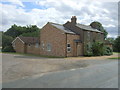
Micel Leah Cottage
On Twenty Pence Road (B1049).
Image: © JThomas
Taken: 12 Aug 2017
0.04 miles
2
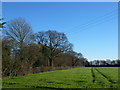
Tree belt and farmland near Mitchell Hill Farm
Image: © Richard Humphrey
Taken: 15 Jan 2016
0.09 miles
4
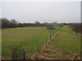
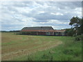
Smallholding by Cottenham Lode
Behind Napoleon Farm.
Image: © Hugh Venables
Taken: 7 Feb 2010
0.16 miles
8

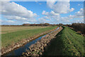
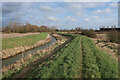
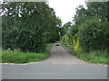
Unmown path beside Cottenham Lode
There is one section of the path along Cottenham Lode that is a struggle in the summer months. There may be 500 m-length section where there is no attempt to keep the bank ridge clear.
Image: © Julian Paren
Taken: 31 May 2021
0.21 miles
9
College Farm on Twenty Pence Road, Cottenham, Cambs
Image: © Rodney Burton
Taken: 25 Jun 2006
0.21 miles