
IMAGES TAKEN NEAR TO
Hill View, CAMBRIDGE, CB23 8DF
Introduction
This page details the photographs taken nearby to Hill View, CB23 8DF by members of the Geograph project.
The Geograph project started in 2005 with the aim of publishing, organising and preserving representative images for every square kilometre of Great Britain, Ireland and the Isle of Man.

There are currently over 7.5m images from over14,400 individuals and you can help contribute to the project by visiting https://www.geograph.org.uk
Image Map
Images are licensed for reuse under creativecommons.org/licenses/by-sa/2.0
Notes
- Clicking on the map will re-center to the selected point.
- The higher the marker number, the further away the image location is from the centre of the postcode.
Image Listing (26 Images Found)
Images are licensed for reuse under creativecommons.org/licenses/by-sa/2.0
Image
Details
Distance
2
Hill View, Dry Drayton
Well, it's a slope, which is good enough for Cambridgeshire.
Image: © Hugh Venables
Taken: 3 Aug 2015
0.03 miles
4
Bungalows on Oakington Road, Dry Drayton
Image: © David Howard
Taken: 12 Sep 2021
0.05 miles
5
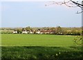
Rural Council Housing, Oakington Road
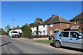
This set of 9 pairs of semi-detached council houses marks the edge of Dry Drayton for those coming from Oakington or the A14 junction. They date from c1938 & are now predominantly privately owned. This is the view from the footpath that links Oakington Road with the far end of Pettitt's Lane.
Image: © Martin Tester
Taken: 8 Apr 2020
0.07 miles
7
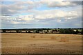
An early harvest around Dry Drayton
All the cereal fields around the village had been harvested & the straw baled by the beginning of August. This is quite remarkable, harvesting of the wheat crop normally only starts about the middle of the month but Cambridgeshire has just experienced the driest July on record. The view is from the footpath at the end of Pettitt's Lane looking down towards the ex-council houses on Oakington Road. (See Image). This particular field has an area of about 64 acres.
Image: © Martin Tester
Taken: 3 Aug 2022
0.10 miles
8
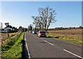
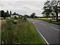
Leaving Dry Drayton on Oakington Road
The north-eastern edge of the village on a bright January morning.
Image: © John Sutton
Taken: 28 Jan 2016
0.11 miles
10
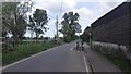
Traffic Calming - Oakington Road
The boundary of Dry Drayton Village.
Image: © James Emmans
Taken: 16 May 2016
0.15 miles