
IMAGES TAKEN NEAR TO
Woodfield Lane, CAMBRIDGE, CB23 6FD
Introduction
This page details the photographs taken nearby to Woodfield Lane, CB23 6FD by members of the Geograph project.
The Geograph project started in 2005 with the aim of publishing, organising and preserving representative images for every square kilometre of Great Britain, Ireland and the Isle of Man.

There are currently over 7.5m images from over14,400 individuals and you can help contribute to the project by visiting https://www.geograph.org.uk
Image Map
Images are licensed for reuse under creativecommons.org/licenses/by-sa/2.0
Notes
- Clicking on the map will re-center to the selected point.
- The higher the marker number, the further away the image location is from the centre of the postcode.
Image Listing (65 Images Found)
Images are licensed for reuse under creativecommons.org/licenses/by-sa/2.0
Image
Details
Distance
1
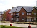
Housing at Hop Gardens, Lower Cambourne
A housing association built phase, LC16.
Construction finishing works were just being completed at the time.
Image: © John Brightley
Taken: 13 May 2004
0.00 miles
2
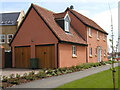
Housing at Woodfield Lane, Lower Cambourne
Image: © John Brightley
Taken: 13 May 2004
0.02 miles
3
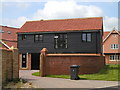
Barn style house at Codling Walk, Lower Cambourne
Image: © John Brightley
Taken: 13 May 2004
0.05 miles
4
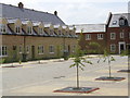
Housing at Merle Way, Lower Cambourne
Image: © John Brightley
Taken: 13 May 2004
0.05 miles
5
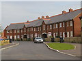
Terrace of houses, Woodfield Lane, Lower Cambourne
Built by Bryant Homes as part of phase LC14.
Image: © John Brightley
Taken: 13 May 2004
0.06 miles
6
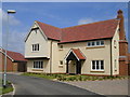
House at Codling Walk, Lower Cambourne
Image: © John Brightley
Taken: 13 May 2004
0.06 miles
7
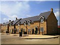
Housing at Merle Way, Lower Cambourne
Constructed by Bovis Homes as part of phase LC12.
The houses were just completed when the photo was taken, hence the road in the foreground is still waiting for its top surface to be laid.
Image: © John Brightley
Taken: 13 May 2004
0.07 miles
8
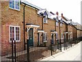
Housing at Merle Way, Lower Cambourne
Constructed by Bovis Homes as part of phase LC12.
Image: © John Brightley
Taken: 13 May 2004
0.07 miles
9
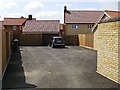
Parking courtyard at Purley Road, Lower Cambourne
Planning policies these days encourage designers to hide car parking to the rear of houses to avoid cars and built-in garages dominating the street scene. These are parking facilities for the houses adjacent to the left. Unfortunately it has turned out to be a rather bleak 'sea' of tarmac and would have benefited from some soft landscaping.
Image: © John Brightley
Taken: 13 May 2004
0.07 miles
10
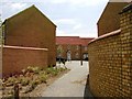
Footpath between Merle Way and Medlar Lane, Lower Cambourne
Medlar Lane in the background is part of phase LC15.
Image: © John Brightley
Taken: 13 May 2004
0.08 miles