
IMAGES TAKEN NEAR TO
Brookgate, CAMBRIDGE, CB1 2BP
Introduction
This page details the photographs taken nearby to Brookgate, CB1 2BP by members of the Geograph project.
The Geograph project started in 2005 with the aim of publishing, organising and preserving representative images for every square kilometre of Great Britain, Ireland and the Isle of Man.

There are currently over 7.5m images from over14,400 individuals and you can help contribute to the project by visiting https://www.geograph.org.uk
Image Map
Images are licensed for reuse under creativecommons.org/licenses/by-sa/2.0
Notes
- Clicking on the map will re-center to the selected point.
- The higher the marker number, the further away the image location is from the centre of the postcode.
Image Listing (1816 Images Found)
Images are licensed for reuse under creativecommons.org/licenses/by-sa/2.0
Image
Details
Distance
1
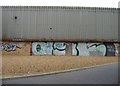
Graffiti Wall
Behind the Triangle development.
Image: © Mr Ignavy
Taken: 31 Jul 2008
0.01 miles
2
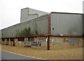
Cambridge graffiti
Across the road from the Triangle development.
Image: © Mr Ignavy
Taken: 31 Jul 2008
0.01 miles
3
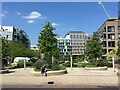
Open space off Brook Gate
Many moons ago this was the approximate position of a dusty overspill station carpark and a rough track which cut the corner off if you were going to the station. But in those days geograph did not exist and digital cameras had yet to be invented.
Image: © Fernweh
Taken: 31 May 2021
0.02 miles
4
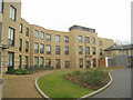
New builds behind Warren Close
I think the block is some form of sheltered/affordable housing. It lies adjacent to the CB1 development.
Image: © Fernweh
Taken: 28 Dec 2012
0.02 miles
5
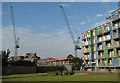
Building Cambridge Gateway
West of Cambridge Station new housing is being built on the former railway land which the developers call Cambridge Gateway.
Image: © John Sutton
Taken: 11 Jul 2011
0.02 miles
6
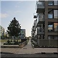
New blocks near Cambridge Station
This area, once railway sidings, was in shadow at 6.40 on a summer morning. Image] shows the block on the right under construction in June 2012.
Image: © John Sutton
Taken: 30 Jun 2014
0.02 miles
7
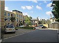
New and old in CB1
The flats to the left were built in 2011, the slate-roofed buildings on Hills Road (and the Royal Albert Homes beyond) in the 19th century. The hipped-roofed building in the centre, behind the cycling postman, is now La Maison du Steak, but was built by the Great Northern Railway as goods offices or perhaps its goods agent's house. Image] shows the building site in March 2010.
Image: © John Sutton
Taken: 16 Sep 2013
0.02 miles
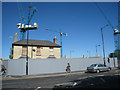
10
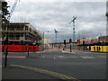
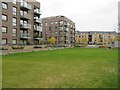
Building student housing off Hills Road
511 units of student accommodation are being built on this site as part of the vast station area development. The "see, be" branding and silhouette figures can also be seen in Image
Image: © Keith Edkins
Taken: 14 Aug 2011
0.02 miles