IMAGES TAKEN NEAR TO
Lambley, BRAMPTON, CA8 7NE
Introduction
This page details the photographs taken nearby to CA8 7NE by members of the Geograph project.
The Geograph project started in 2005 with the aim of publishing, organising and preserving representative images for every square kilometre of Great Britain, Ireland and the Isle of Man.

There are currently over 7.5m images from over14,400 individuals and you can help contribute to the project by visiting https://www.geograph.org.uk
Image Map
Images are licensed for reuse under creativecommons.org/licenses/by-sa/2.0
Notes
- Clicking on the map will re-center to the selected point.
- The higher the marker number, the further away the image location is from the centre of the postcode.
Image Listing (22 Images Found)
Images are licensed for reuse under creativecommons.org/licenses/by-sa/2.0
Image
Details
Distance
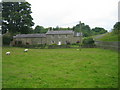
3
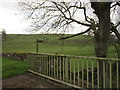
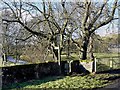
Barn at Byers Hall
This barn would have house a threshing machine
Image: © Les Hull
Taken: 23 Jul 2008
0.02 miles
10
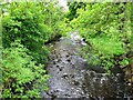
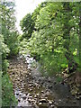
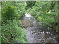
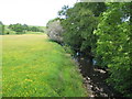
Footpath alongside the Hartley Burn
Footpath to Midgeholme from an unclassified road near 'Byres Hall' farm.
Image: © Bill Cresswell
Taken: 21 Jan 2009
0.10 miles