
IMAGES TAKEN NEAR TO
Halton-Lea-Gate, BRAMPTON, CA8 7LS
Introduction
This page details the photographs taken nearby to CA8 7LS by members of the Geograph project.
The Geograph project started in 2005 with the aim of publishing, organising and preserving representative images for every square kilometre of Great Britain, Ireland and the Isle of Man.

There are currently over 7.5m images from over14,400 individuals and you can help contribute to the project by visiting https://www.geograph.org.uk
Image Map
Images are licensed for reuse under creativecommons.org/licenses/by-sa/2.0
Notes
- Clicking on the map will re-center to the selected point.
- The higher the marker number, the further away the image location is from the centre of the postcode.
Image Listing (16 Images Found)
Images are licensed for reuse under creativecommons.org/licenses/by-sa/2.0
Image
Details
Distance
1
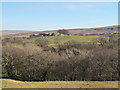
The valley of Hartley Burn around Halton Lea
Image: © Mike Quinn
Taken: 27 Feb 2013
0.12 miles
2
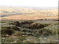
The cleugh of Alder Sike above Halton-Lea Gate
Image: © Mike Quinn
Taken: 18 Feb 2013
0.12 miles
3
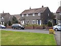
Post office at Halton-Lea-Gate
This village post office is housed in one of the houses built by the National Coal Board in the 1940s to house miners at the nearby Lambley Colliery. Unfortunately and rather surprisingly, the NCB did not take account of the numerous underground workings in the area, and the houses have been subject to a lot of subsidence. The colliery closed in 1958.
Image: © Oliver Dixon
Taken: 27 Apr 2010
0.14 miles
5
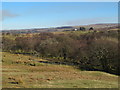
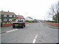
The valley of Hartley Burn west of Clover Hill
Image: © Mike Quinn
Taken: 27 Feb 2013
0.17 miles
6
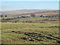
Rough pastures around Black Burn between Hill House and Halton Lea
Image: © Mike Quinn
Taken: 27 Feb 2013
0.19 miles
7
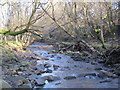
Hartley Burn northwest of Halton-Lea-Gate
Image: © Mike Quinn
Taken: 27 Feb 2013
0.21 miles
9
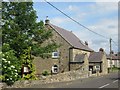
Former church in Halton Lea Gate
Now a private residence.
Image: © James Denham
Taken: 22 Jun 2014
0.22 miles
10
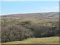
The valley of Hartley Burn east of Midgeholme
Image: © Mike Quinn
Taken: 27 Feb 2013
0.23 miles