IMAGES TAKEN NEAR TO
Greenhead, BRAMPTON, CA8 7HR
Introduction
This page details the photographs taken nearby to CA8 7HR by members of the Geograph project.
The Geograph project started in 2005 with the aim of publishing, organising and preserving representative images for every square kilometre of Great Britain, Ireland and the Isle of Man.

There are currently over 7.5m images from over14,400 individuals and you can help contribute to the project by visiting https://www.geograph.org.uk
Image Map
Images are licensed for reuse under creativecommons.org/licenses/by-sa/2.0
Notes
- Clicking on the map will re-center to the selected point.
- The higher the marker number, the further away the image location is from the centre of the postcode.
Image Listing (61 Images Found)
Images are licensed for reuse under creativecommons.org/licenses/by-sa/2.0
Image
Details
Distance
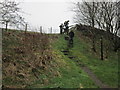
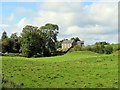
1
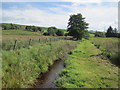
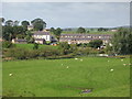
View to Longbrye
From near Thirlwall castle.
Image: © Ashley Dace
Taken: 26 Jul 2011
0.04 miles
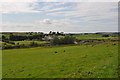
5
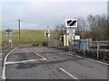
Longbyre Level Crossing
Carrying the minor road to Thirlwall Castle over the Newcastle to Carlisle line.
Image: © Oliver Dixon
Taken: 19 Jan 2011
0.06 miles
6
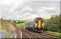
156436 at Longbyre level crossing - August 2016
Scotrail liveried 156436 approaches Longbyre level crossing with the 12.12 passenger service from Glasgow to Newcastle.
Image: © The Carlisle Kid
Taken: 26 Aug 2016
0.07 miles
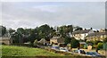
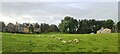
8
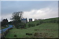
House with tall barn near Thirlwall Castle
Image: © P Glenwright
Taken: 1 Jan 2007
0.08 miles