IMAGES TAKEN NEAR TO
Meadow View, WIGTON, CA7 2BE
Introduction
This page details the photographs taken nearby to Meadow View, CA7 2BE by members of the Geograph project.
The Geograph project started in 2005 with the aim of publishing, organising and preserving representative images for every square kilometre of Great Britain, Ireland and the Isle of Man.

There are currently over 7.5m images from over14,400 individuals and you can help contribute to the project by visiting https://www.geograph.org.uk
Image Map
Images are licensed for reuse under creativecommons.org/licenses/by-sa/2.0
Notes
- Clicking on the map will re-center to the selected point.
- The higher the marker number, the further away the image location is from the centre of the postcode.
Image Listing (8 Images Found)
Images are licensed for reuse under creativecommons.org/licenses/by-sa/2.0
Image
Details
Distance
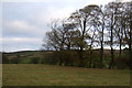
1
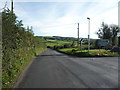
Arkleby Road (B5301)
Heading south from Aspatria.
Image: © JThomas
Taken: 17 Sep 2016
0.12 miles
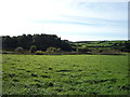
6
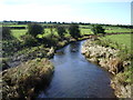
River Ellen
Looking downstream from Arkleby Bridge
Image: © Alexander P Kapp
Taken: 4 Oct 2007
0.20 miles
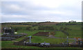
7
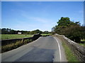
Arkleby Bridge
Looking north towards Aspatria from Arkleby Mill, this bridge carries the B5301 over the River Ellen
Image: © Alexander P Kapp
Taken: 4 Oct 2007
0.23 miles
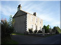
8
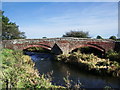
Arkleby Bridge
The river is the River Ellen
Image: © Alexander P Kapp
Taken: 4 Oct 2007
0.24 miles