
IMAGES TAKEN NEAR TO
Longtown, CARLISLE, CA6 5TP
Introduction
This page details the photographs taken nearby to CA6 5TP by members of the Geograph project.
The Geograph project started in 2005 with the aim of publishing, organising and preserving representative images for every square kilometre of Great Britain, Ireland and the Isle of Man.

There are currently over 7.5m images from over14,400 individuals and you can help contribute to the project by visiting https://www.geograph.org.uk
Image Map
Images are licensed for reuse under creativecommons.org/licenses/by-sa/2.0
Notes
- Clicking on the map will re-center to the selected point.
- The higher the marker number, the further away the image location is from the centre of the postcode.
Image Listing (8 Images Found)
Images are licensed for reuse under creativecommons.org/licenses/by-sa/2.0
Image
Details
Distance
1
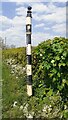
Cumberland County Council finger signpost on NE side of A6071 at Brisco Hill
The signpost now has no arms and has Milestone Society National ID: CU_NY3967
Image: © Roger Templeman
Taken: 1 Jun 2021
0.09 miles
2
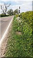
A6071 approaching Longtown from SE at Brisco Hill
The Cumberland County Council finger signpost Image on the verge has lost its arms
Image: © Roger Templeman
Taken: 1 Jun 2021
0.10 miles
3
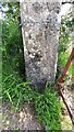
Benchmark on gatepost at field gateway on SW side of A6071
Ordnance Survey cut mark benchmark levelled at 20.311m above Newlyn Datum in 1971
Image: © Roger Templeman
Taken: 1 Jun 2021
0.11 miles
4
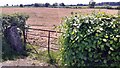
Field gateway on SW side of A6071 opposite Brisco Hill
There is an Ordnance Survey benchmark Image on the inside face of the gatepost at the left hand side of the gateway
Image: © Roger Templeman
Taken: 1 Jun 2021
0.15 miles
5
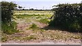
View of field and wind turbines though gateway on east side of minor road north of Brisco Hill Bridge
Image: © Roger Templeman
Taken: 1 Jun 2021
0.19 miles
6
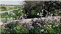
Hall Burn seen over top of NE parapet of Brisco Hill Bridge
Image: © Roger Templeman
Taken: 1 Jun 2021
0.22 miles
7
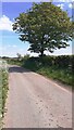
Minor road from A7 at Brisco Hill Bridge towards Longtown
Image: © Luke Shaw
Taken: 1 Jun 2021
0.22 miles
8
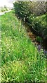
Hall Burn and minor road running NE from Brisco Hill Bridge
Image: © Luke Shaw
Taken: 1 Jun 2021
0.22 miles