
IMAGES TAKEN NEAR TO
English Street, CARLISLE, CA6 5SD
Introduction
This page details the photographs taken nearby to English Street, CA6 5SD by members of the Geograph project.
The Geograph project started in 2005 with the aim of publishing, organising and preserving representative images for every square kilometre of Great Britain, Ireland and the Isle of Man.

There are currently over 7.5m images from over14,400 individuals and you can help contribute to the project by visiting https://www.geograph.org.uk
Image Map
Images are licensed for reuse under creativecommons.org/licenses/by-sa/2.0
Notes
- Clicking on the map will re-center to the selected point.
- The higher the marker number, the further away the image location is from the centre of the postcode.
Image Listing (159 Images Found)
Images are licensed for reuse under creativecommons.org/licenses/by-sa/2.0
Image
Details
Distance
1
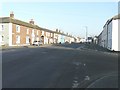
English Street (A7), Longtown
Taken from its junction with Albert Street (A6071)
Image: © John Baker
Taken: 26 Mar 2012
0.01 miles
2
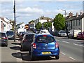
English Street, Longtown
Heavily trafficked main street on the A7.
Image: © Oliver Dixon
Taken: 10 May 2019
0.01 miles
3
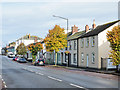
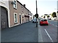
Houses in Longtown
The houses are on the east side of the A7, Carlisle Road, seen as it heads north through the town.
Image: © Trevor Littlewood
Taken: 18 Oct 2019
0.02 miles
6
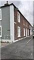
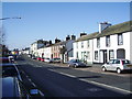
Nook House at south end of row of houses on west side of English Street
Image: © Luke Shaw
Taken: 4 May 2021
0.04 miles
7
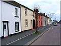
English Street, Longtown
An attractive terrace of houses on the A7 which passes through the village.
Image: © Oliver Dixon
Taken: 2 May 2006
0.04 miles
9
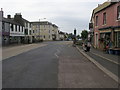
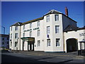
High Street
High Street (A7) Longtown
Image: © Shaun Ferguson
Taken: 29 May 2010
0.05 miles
10

No. 56 English Street
No. 54 houses Top Stitches of Longtown.
Ordnance Survey records show that a benchmark levelled at 18.488m above Newlyn Datum in 1973 on the front of No. 56 at its right hand corner was later considered destroyed. There is no sign of the mark now.
Older records indicate that a mark had been cut on the house to the south during the 1844 Carlisle to Sark Bridge 1GL Survey (at NY38006847). The mark was levelled at 59.072 feet above Liverpool Datum and the surveyor described it as 'No. 22. Mark on S. end of house, at S. end of Longtown, W. side of street ; 0.65 ft. above surface'. Old-Maps show this mark was probably lost in 1900, when the mark on No. 56 was cut presumably as a result of building modifications.
Image: © Luke Shaw
Taken: 14 May 2021
0.05 miles