IMAGES TAKEN NEAR TO
Charlton Way, CARLISLE, CA6 4EU
Introduction
This page details the photographs taken nearby to Charlton Way, CA6 4EU by members of the Geograph project.
The Geograph project started in 2005 with the aim of publishing, organising and preserving representative images for every square kilometre of Great Britain, Ireland and the Isle of Man.

There are currently over 7.5m images from over14,400 individuals and you can help contribute to the project by visiting https://www.geograph.org.uk
Image Map
Images are licensed for reuse under creativecommons.org/licenses/by-sa/2.0
Notes
- Clicking on the map will re-center to the selected point.
- The higher the marker number, the further away the image location is from the centre of the postcode.
Image Listing (9 Images Found)
Images are licensed for reuse under creativecommons.org/licenses/by-sa/2.0
Image
Details
Distance
1
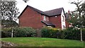
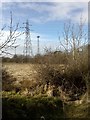
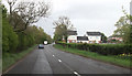
New housing on site of High Crindledike Farm
Ordnance Survey records indicate that a cut mark benchmark levelled at 31.779m above Newlyn Datum was verified in 1974 on farm barn at this location
Image: © Roger Templeman
Taken: 17 Aug 2021
0.04 miles
6
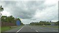
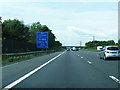
City of Carlisle : The M6 Motorway
Heading north through the City of Carlisle six miles from Gretna.
Image: © Lewis Clarke
Taken: 22 Apr 2016
0.24 miles
7
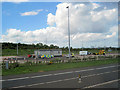
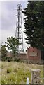
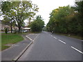
Vehicle Check point on A74
Near High Crindledyke off A74 north
Image: © John Firth
Taken: 9 May 2011
0.24 miles