IMAGES TAKEN NEAR TO
Burrells, APPLEBY-IN-WESTMORLAND, CA16 6SZ
Introduction
This page details the photographs taken nearby to CA16 6SZ by members of the Geograph project.
The Geograph project started in 2005 with the aim of publishing, organising and preserving representative images for every square kilometre of Great Britain, Ireland and the Isle of Man.

There are currently over 7.5m images from over14,400 individuals and you can help contribute to the project by visiting https://www.geograph.org.uk
Image Map
Images are licensed for reuse under creativecommons.org/licenses/by-sa/2.0
Notes
- Clicking on the map will re-center to the selected point.
- The higher the marker number, the further away the image location is from the centre of the postcode.
Image Listing (20 Images Found)
Images are licensed for reuse under creativecommons.org/licenses/by-sa/2.0
Image
Details
Distance
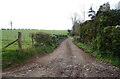
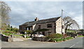
3
Hoff Quarry
Taken on a geological trip to Cumbria. This quarry used to be visited during the OU geological summer school for second level geology.
Image: © Stephen Darlington
Taken: 21 Nov 2010
0.09 miles
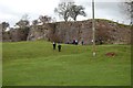
6
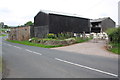
Sheep and buildings at Friendship Farm
Image: © Roger Templeman
Taken: 22 Jul 2015
0.16 miles
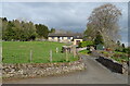
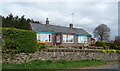
9
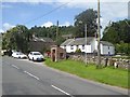
Houses and bus stop at Burrells
On the B6260 Appleby-in-Westmorland to Orton road.
Image: © Oliver Dixon
Taken: 8 Aug 2019
0.19 miles
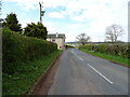
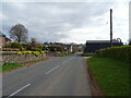
10
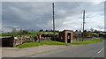
B6260, Burrells
Showing position of Postbox No. CA16 71.
See Image] for postbox.
Image: © JThomas
Taken: 30 Apr 2021
0.20 miles