IMAGES TAKEN NEAR TO
Shap, PENRITH, CA10 3LL
Introduction
This page details the photographs taken nearby to CA10 3LL by members of the Geograph project.
The Geograph project started in 2005 with the aim of publishing, organising and preserving representative images for every square kilometre of Great Britain, Ireland and the Isle of Man.

There are currently over 7.5m images from over14,400 individuals and you can help contribute to the project by visiting https://www.geograph.org.uk
Image Map
Images are licensed for reuse under creativecommons.org/licenses/by-sa/2.0
Notes
- Clicking on the map will re-center to the selected point.
- The higher the marker number, the further away the image location is from the centre of the postcode.
Image Listing (20 Images Found)
Images are licensed for reuse under creativecommons.org/licenses/by-sa/2.0
Image
Details
Distance
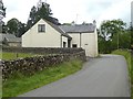
1
Footpath signpost at High Haberwain
Image: © Raymond Knapman
Taken: 11 Jun 2012
0.06 miles
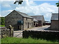
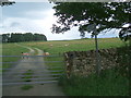
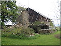
4
Outbuilding at Harberwain Cottage
Looking across Harberwain Lane.
Image: © DS Pugh
Taken: 9 Jul 2020
0.12 miles
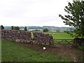
6
Gate on Harberwain Lane
Looking into a field in Low Harberwain.
Image: © DS Pugh
Taken: 9 Jul 2020
0.15 miles
7
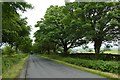
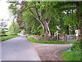
Road to High Haberwain
Looking down the road towards High Haberwain.
Image: © DS Pugh
Taken: 9 Jul 2020
0.15 miles
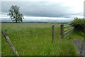
9
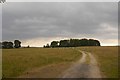
Road to High Haber
An unfenced track on Harberwain Rigg.
Image: © Richard Webb
Taken: 5 Jul 2018
0.18 miles
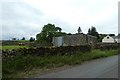
10
High Haber reinvented
From what looks like a ruined property has sprung this, artistic? maybe not.
Image: © Martin Dawes
Taken: 16 May 2012
0.18 miles