
IMAGES TAKEN NEAR TO
Deramore Park, BELFAST, BT9 5JU
Introduction
This page details the photographs taken nearby to Deramore Park, BT9 5JU by members of the Geograph project.
The Geograph project started in 2005 with the aim of publishing, organising and preserving representative images for every square kilometre of Great Britain, Ireland and the Isle of Man.

There are currently over 7.5m images from over14,400 individuals and you can help contribute to the project by visiting https://www.geograph.org.uk
Image Map
Images are licensed for reuse under creativecommons.org/licenses/by-sa/2.0
Notes
- Clicking on the map will re-center to the selected point.
- The higher the marker number, the further away the image location is from the centre of the postcode.
Image Listing (19 Images Found)
Images are licensed for reuse under creativecommons.org/licenses/by-sa/2.0
Image
Details
Distance
1
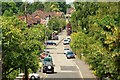
The Lagan Meadows walk, Belfast (7)
See Image Not far west from the previous photo the path emerges opposite Bladon Drive in deepest suburban Malone. Continue to Image
Image: © Albert Bridge
Taken: 4 Jun 2009
0.10 miles
2
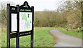
Information board, Lagan Meadows, Belfast (March 2015)
An information board, in a style similar to this one Image, close to the Knightsbridge Park/Bladon Court entrance.
Image: © Albert Bridge
Taken: 16 Mar 2015
0.17 miles
3
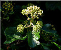
Ivy flowers, Belfast
Ivy flowers by the path in the Lagan Meadows.
Image: © Albert Bridge
Taken: 7 Oct 2009
0.21 miles
4
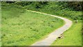
The Lagan Meadows walk, Belfast (5)
See Image Another steep part of the path (to the west of the previous photo). This is very close to suburbia but retains its rural feeling. Continue to Image
Image: © Albert Bridge
Taken: 4 Jun 2009
0.21 miles
5
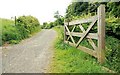
The Lagan Meadows walk, Belfast (6)
See Image The path, from close to the same spot, in the opposite direction and looking more rural than many country lanes. Continue to Image
Image: © Albert Bridge
Taken: 4 Jun 2009
0.22 miles
6
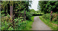
Gate and path, Lagan Meadows, Belfast
The path is part of the Lagan Meadows walk. The gate (locked) leads to a field (grazed) to the west of the towpath.
Image: © Albert Bridge
Taken: 4 Sep 2010
0.22 miles
7
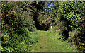
The Lagan Meadows walk, Belfast (13)
See Image Another side path, looking towards the main path. Not as well used and not surfaced. Continue to Image
Image: © Albert Bridge
Taken: 7 Oct 2009
0.22 miles
8
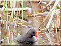
Moorhen, Lagan Meadows, Belfast (March 2015)
A moorhen, among the flag iris Image, at Lester’s Dam.
Image: © Albert Bridge
Taken: 16 Mar 2015
0.23 miles
9
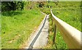
The Lagan Meadows walk, Belfast (8)
See Image Steps (not shown on the OS 1:12,000 and Google maps) leading from the path to the nature reserve. This path diverges here while the main path continues to the south. Continue to Image
Image: © Albert Bridge
Taken: 4 Jun 2009
0.23 miles
10
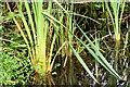
Flag iris, Lester's Dam, Belfast (August 2014)
Unfortunately I arrived a bit too late in the season to record the yellow flower of the flag iris at Lester’s Dam (Lagan Meadows) http://www.geograph.org.uk/search.php?i=50617136. This is how they should look, when in flower Image
Image: © Albert Bridge
Taken: 15 Aug 2014
0.23 miles