IMAGES TAKEN NEAR TO
Crevenagh Road, OMAGH, BT79 0UZ
Introduction
This page details the photographs taken nearby to Crevenagh Road, BT79 0UZ by members of the Geograph project.
The Geograph project started in 2005 with the aim of publishing, organising and preserving representative images for every square kilometre of Great Britain, Ireland and the Isle of Man.

There are currently over 7.5m images from over14,400 individuals and you can help contribute to the project by visiting https://www.geograph.org.uk
Image Map
Images are licensed for reuse under creativecommons.org/licenses/by-sa/2.0
Notes
- Clicking on the map will re-center to the selected point.
- The higher the marker number, the further away the image location is from the centre of the postcode.
Image Listing (91 Images Found)
Images are licensed for reuse under creativecommons.org/licenses/by-sa/2.0
Image
Details
Distance
1
Donaghanie Townland
Pictured along Dervaghroy Road
Image: © Kenneth Allen
Taken: 2 Apr 2013
0.04 miles
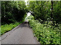
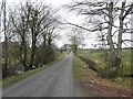
2
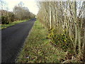
Crevenagh Road, Donaghanie
Heading west
Image: © Kenneth Allen
Taken: 10 Mar 2016
0.05 miles
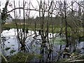
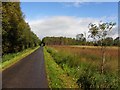
3
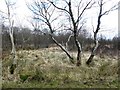
A small wetland area, Donaghanie
Pictured along Crevenagh Road
Image: © Kenneth Allen
Taken: 2 Apr 2013
0.06 miles
4
Dervaghroy Road, Donaghanie
Heading south-east
Image: © Kenneth Allen
Taken: 27 Apr 2010
0.06 miles
5
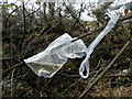
Substance in a plastic bag, Donaghanie
I noticed several of these along the route I was taking.
Image: © Kenneth Allen
Taken: 10 Mar 2016
0.07 miles
6
Dervaghroy Road
Heading SSE from Donaghanie to Dervaghroy
Image: © Kenneth Allen
Taken: 9 Jun 2018
0.08 miles
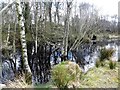
7
Swampy area, Donaghanie
Pictured along Crevenagh Road
Image: © Kenneth Allen
Taken: 24 Mar 2012
0.08 miles
8
Dervaghroy Road, Donaghanie
Heading south-east from Crevenagh Road
Image: © Kenneth Allen
Taken: 9 Jun 2018
0.08 miles
9
Crevenagh Road, Donaghanie
Heading west
Image: © Kenneth Allen
Taken: 2 Apr 2013
0.08 miles
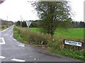
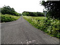
10
Dervaghroy Road
Heading NNW towards the Donaghanie Road
Image: © Kenneth Allen
Taken: 14 Sep 2010
0.09 miles