IMAGES TAKEN NEAR TO
Crannoge Road, OMAGH, BT79 0UU
Introduction
This page details the photographs taken nearby to Crannoge Road, BT79 0UU by members of the Geograph project.
The Geograph project started in 2005 with the aim of publishing, organising and preserving representative images for every square kilometre of Great Britain, Ireland and the Isle of Man.

There are currently over 7.5m images from over14,400 individuals and you can help contribute to the project by visiting https://www.geograph.org.uk
Image Map
Images are licensed for reuse under creativecommons.org/licenses/by-sa/2.0
Notes
- Clicking on the map will re-center to the selected point.
- The higher the marker number, the further away the image location is from the centre of the postcode.
Image Listing (45 Images Found)
Images are licensed for reuse under creativecommons.org/licenses/by-sa/2.0
Image
Details
Distance
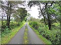
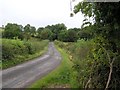
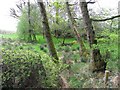
1
Crannoge Road, Annagh
Heading north-east
Image: © Kenneth Allen
Taken: 9 Jun 2018
0.03 miles
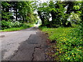
2
Crannoge Road, Annagh
Heading south-west
Image: © Kenneth Allen
Taken: 6 May 2010
0.04 miles
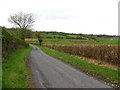
3
Crannoge Road, Annagh
Heading south-west
Image: © Kenneth Allen
Taken: 13 Sep 2012
0.05 miles
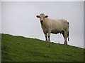
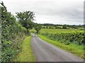
5
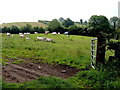
Annagh Townland
The farmer has gone in to check the cattle
Image: © Kenneth Allen
Taken: 9 Jun 2018
0.07 miles