IMAGES TAKEN NEAR TO
Crocknacor Road, OMAGH, BT79 0LT
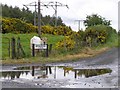
Introduction
This page details the photographs taken nearby to Crocknacor Road, BT79 0LT by members of the Geograph project.
The Geograph project started in 2005 with the aim of publishing, organising and preserving representative images for every square kilometre of Great Britain, Ireland and the Isle of Man.

There are currently over 7.5m images from over14,400 individuals and you can help contribute to the project by visiting https://www.geograph.org.uk
Image Map
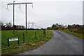
Images are licensed for reuse under creativecommons.org/licenses/by-sa/2.0
Notes
- Clicking on the map will re-center to the selected point.
- The higher the marker number, the further away the image location is from the centre of the postcode.
Image Listing (194 Images Found)
Images are licensed for reuse under creativecommons.org/licenses/by-sa/2.0
Image
Details
Distance
1
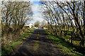
Trees along Crocknacor Road
Heading NNE at Cloghfin
Image: © Kenneth Allen
Taken: 13 Mar 2020
0.01 miles
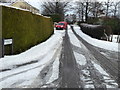
2
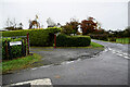
Crocknacor Road
Heading NNE from the intersection with Arvalee Road
Image: © Kenneth Allen
Taken: 31 Oct 2022
0.01 miles
3
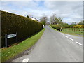
Crocknacor Road
Heading NNE from the intersection with Arvalee Road
Image: © Kenneth Allen
Taken: 11 Apr 2017
0.01 miles
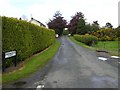
5
Postal delivery, Cloghfin
Pictured along Crocknacor Road
Image: © Kenneth Allen
Taken: 20 Jan 2018
0.03 miles
6
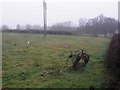
Hay rake, Cloghfin
Viewed from Crocknacor road
Image: © Kenneth Allen
Taken: 21 Dec 2012
0.03 miles
7
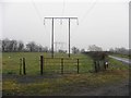
Overhead power lines, Cloghfin
Looking north-east
Image: © Kenneth Allen
Taken: 21 Dec 2012
0.03 miles
8
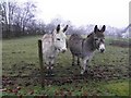
A pair of donkeys, Cloghfin
Pictured along Crocknacor Road
Image: © Kenneth Allen
Taken: 21 Dec 2012
0.03 miles
9
Arvalee Road
Heading east from Crocknacor Road at Cloghfin
Image: © Kenneth Allen
Taken: 31 Oct 2022
0.03 miles
10
Arvalee Road, Cloghfin
Someone is looking at me!
Image: © Kenneth Allen
Taken: 23 May 2009
0.03 miles