IMAGES TAKEN NEAR TO
Rahony Road, OMAGH, BT78 2JZ
Introduction
This page details the photographs taken nearby to Rahony Road, BT78 2JZ by members of the Geograph project.
The Geograph project started in 2005 with the aim of publishing, organising and preserving representative images for every square kilometre of Great Britain, Ireland and the Isle of Man.

There are currently over 7.5m images from over14,400 individuals and you can help contribute to the project by visiting https://www.geograph.org.uk
Image Map
Images are licensed for reuse under creativecommons.org/licenses/by-sa/2.0
Notes
- Clicking on the map will re-center to the selected point.
- The higher the marker number, the further away the image location is from the centre of the postcode.
Image Listing (51 Images Found)
Images are licensed for reuse under creativecommons.org/licenses/by-sa/2.0
Image
Details
Distance
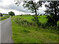
1
Lisconrea Townland
Pictured along Rahony Road
Image: © Kenneth Allen
Taken: 22 Jun 2016
0.03 miles
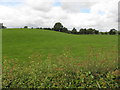
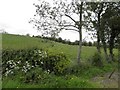
2
An open field, Lurganboy
Pictured along Rahony Road
Image: © Kenneth Allen
Taken: 7 Oct 2024
0.04 miles
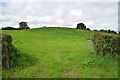
3
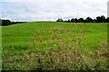
A low hill, Lurganboy
Pictured along Rahony Road
Image: © Kenneth Allen
Taken: 30 Jul 2019
0.04 miles
6
Lurganboy / Lisconrea
Looking ESE from Carryglass Road
Image: © Kenneth Allen
Taken: 30 Jul 2019
0.07 miles
7
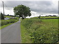
Clouds over Lisconrea
Heading SSE on Rahony Road
Image: © Kenneth Allen
Taken: 22 Jun 2016
0.07 miles
8
Lisconrea Townland
Pictured along Rahony Road
Image: © Kenneth Allen
Taken: 6 Jun 2011
0.07 miles
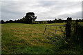
9
An open field, Lisconrea
Pictured along Rahony Road
Image: © Kenneth Allen
Taken: 30 Jul 2019
0.08 miles
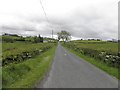
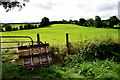
10
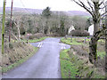
Corrashesk Townland
The crossroads is between Lurganboy and Lisconrea
Image: © Kenneth Allen
Taken: 16 Feb 2006
0.08 miles