IMAGES TAKEN NEAR TO
Whappstown Road, BALLYMENA, BT42 3DB
Introduction
This page details the photographs taken nearby to Whappstown Road, BT42 3DB by members of the Geograph project.
The Geograph project started in 2005 with the aim of publishing, organising and preserving representative images for every square kilometre of Great Britain, Ireland and the Isle of Man.

There are currently over 7.5m images from over14,400 individuals and you can help contribute to the project by visiting https://www.geograph.org.uk
Image Map
Images are licensed for reuse under creativecommons.org/licenses/by-sa/2.0
Notes
- Clicking on the map will re-center to the selected point.
- The higher the marker number, the further away the image location is from the centre of the postcode.
Image Listing (11 Images Found)
Images are licensed for reuse under creativecommons.org/licenses/by-sa/2.0
Image
Details
Distance
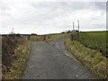
1
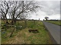
Whappstown Road, Whappstown
Heading west
Image: © Kenneth Allen
Taken: 21 Mar 2011
0.07 miles

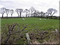
6
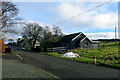
Whapstown Road
A little community of dwellings on the Whapstown Road looking northeast.
Image: © Robert Ashby
Taken: 7 Feb 2015
0.16 miles
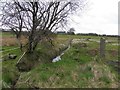
8
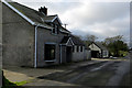
Whapstown Road
Houses on the Whapstown Road.
Image: © Robert Ashby
Taken: 7 Feb 2015
0.18 miles
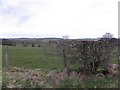
9
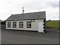
Whappstown National School
Viewed along Whappstown Road
Image: © Kenneth Allen
Taken: 21 Mar 2011
0.19 miles
10
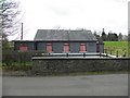
Gospel Hall, Whappstown
Pictured along Whappstown Road
Image: © Kenneth Allen
Taken: 21 Mar 2011
0.20 miles