
IMAGES TAKEN NEAR TO
Allenbrook Mews, LARNE, BT40 2QB
Introduction
This page details the photographs taken nearby to Allenbrook Mews, BT40 2QB by members of the Geograph project.
The Geograph project started in 2005 with the aim of publishing, organising and preserving representative images for every square kilometre of Great Britain, Ireland and the Isle of Man.

There are currently over 7.5m images from over14,400 individuals and you can help contribute to the project by visiting https://www.geograph.org.uk
Image Map
Images are licensed for reuse under creativecommons.org/licenses/by-sa/2.0
Notes
- Clicking on the map will re-center to the selected point.
- The higher the marker number, the further away the image location is from the centre of the postcode.
Image Listing (7 Images Found)
Images are licensed for reuse under creativecommons.org/licenses/by-sa/2.0
Image
Details
Distance
1
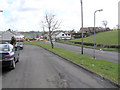
Millbrook, Larne
The road is leading to the town
Image: © Kenneth Allen
Taken: 8 Apr 2006
0.11 miles
2
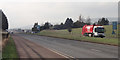
Along the A8
Looking south-west from Millbrook.
Image: © Robert Ashby
Taken: 13 Feb 2017
0.15 miles
3
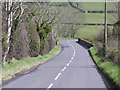
Owen's Bridge, Larne
Heading away from the town
Image: © Kenneth Allen
Taken: 8 Apr 2006
0.15 miles
4
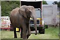
Elephant
In a circus which was in a field at Millbrook on the Larne to Belfast Road.
Image: © Paul McIlroy
Taken: 17 May 2007
0.17 miles
5
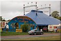
Big Top
Travelling circus at Millbrook near Larne.
Image: © Paul McIlroy
Taken: 17 May 2007
0.17 miles
6
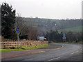
Near Millbrook
Browndod Road. The blue 'End Of Cycle Route refers to the traffic-free section enabling cyclists to negotiate the busy Millbrook roundabout behind the camera position. The lower smaller sign indicates that NCN Route 93 continues on-road to Gleno, three miles distant.
Image: © Robert Ashby
Taken: 13 Feb 2017
0.17 miles
7
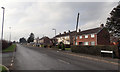
Old Belfast Road
Older housing at the Millbrook end of the Old Belfast Road which probably mostly pre-dates the dual carriageway
Image: © Robert Ashby
Taken: 13 Feb 2017
0.23 miles