
IMAGES TAKEN NEAR TO
Killeen Court, NEWRY, BT35 8FN
Introduction
This page details the photographs taken nearby to Killeen Court, BT35 8FN by members of the Geograph project.
The Geograph project started in 2005 with the aim of publishing, organising and preserving representative images for every square kilometre of Great Britain, Ireland and the Isle of Man.

There are currently over 7.5m images from over14,400 individuals and you can help contribute to the project by visiting https://www.geograph.org.uk
Image Map
Images are licensed for reuse under creativecommons.org/licenses/by-sa/2.0
Notes
- Clicking on the map will re-center to the selected point.
- The higher the marker number, the further away the image location is from the centre of the postcode.
Image Listing (28 Images Found)
Images are licensed for reuse under creativecommons.org/licenses/by-sa/2.0
Image
Details
Distance
1

Albert Basin road at its junction with Drumalane Road
The Albert Basin road is part of the Fathom Line which is also known as the Omeath Road
Image: © Eric Jones
Taken: 4 Feb 2015
0.04 miles
2
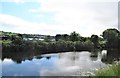
View across the Newry Canal towards the Greenbank Industrial Estate
Image: © Eric Jones
Taken: 17 Jun 2017
0.05 miles
3
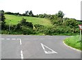
The junction of Albert Basin road and Drumalane Road outside Newry
Image: © Eric Jones
Taken: 20 Sep 2016
0.05 miles
4
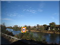
Entering the 40mph zone on the Fathom Line at the southern outskirts of Newry
Here only a crash barrier separates heavy traffic from the deep waters of the Newry Canal. Tragically, there have over the years been a number of fatalities as a result of vehicles entering the canal.
Image: © Eric Jones
Taken: 4 Feb 2015
0.06 miles
5
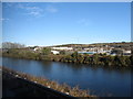
Units on the Greenbank Industrial Estate, Newry, viewed across the Newry Canal
Image: © Eric Jones
Taken: 4 Feb 2015
0.06 miles
6
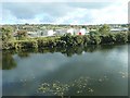
Waste Water Treatment Works on Newry's Greenbank Industrial Estate
The image was taken across the Newry Canal from the Fathom Line.
Image: © Eric Jones
Taken: 29 Oct 2019
0.08 miles
7
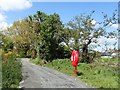
Life Buoy on the Middlebank
This is located on the Newry Greenway opposite the Pairc Esler complex.
Image: © Eric Jones
Taken: 12 May 2018
0.09 miles
8
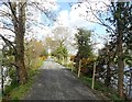
View South along the northern section of the Newry Greenway
Image: © Eric Jones
Taken: 12 May 2018
0.11 miles
9
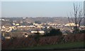
View east across the Newry Valley from Dublin Road
Image: © Eric Jones
Taken: 18 Feb 2010
0.11 miles
10
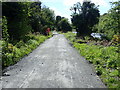
View South-east along the Newry Greenway
The image was taken on the Middlebank opposite the Clady Ready Mix Plant. A glimpse of the Newry Ship Canal can be seen through the trees on the right.
Image: © Eric Jones
Taken: 12 May 2018
0.13 miles