IMAGES TAKEN NEAR TO
Newry Road, NEWRY, BT35 6TJ
Introduction
This page details the photographs taken nearby to Newry Road, BT35 6TJ by members of the Geograph project.
The Geograph project started in 2005 with the aim of publishing, organising and preserving representative images for every square kilometre of Great Britain, Ireland and the Isle of Man.

There are currently over 7.5m images from over14,400 individuals and you can help contribute to the project by visiting https://www.geograph.org.uk
Image Map
Images are licensed for reuse under creativecommons.org/licenses/by-sa/2.0
Notes
- Clicking on the map will re-center to the selected point.
- The higher the marker number, the further away the image location is from the centre of the postcode.
Image Listing (9 Images Found)
Images are licensed for reuse under creativecommons.org/licenses/by-sa/2.0
Image
Details
Distance
3
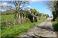
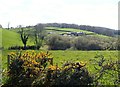
View NNE along the Old Road
The Old Road runs parallel with the A7, both running northwards towards Poyntzpass
Image: © Eric Jones
Taken: 10 Apr 2019
0.18 miles
5
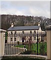
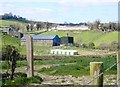
Farmhouse and out-buildings between the Old Road and the Newry Road
Image: © Eric Jones
Taken: 10 Apr 2019
0.21 miles
6
Farm buildings between the Old Road and the A27 (Tandragee Road)
Image: © Eric Jones
Taken: 10 Apr 2019
0.23 miles
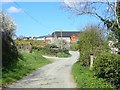
8
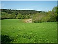
Farm house and buildings on drumlin slope above Waddells Lock
Image: © Eric Jones
Taken: 21 Feb 2019
0.23 miles
9
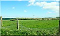
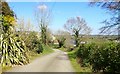
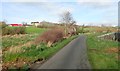
11kV power lines crossing the Old Road
The camera point Eastwards.
Image: © Eric Jones
Taken: 10 Apr 2019
0.25 miles