
IMAGES TAKEN NEAR TO
Dundrum Bay View, NEWCASTLE, BT33 0FG
Introduction
This page details the photographs taken nearby to Dundrum Bay View, BT33 0FG by members of the Geograph project.
The Geograph project started in 2005 with the aim of publishing, organising and preserving representative images for every square kilometre of Great Britain, Ireland and the Isle of Man.

There are currently over 7.5m images from over14,400 individuals and you can help contribute to the project by visiting https://www.geograph.org.uk
Image Map
Images are licensed for reuse under creativecommons.org/licenses/by-sa/2.0
Notes
- Clicking on the map will re-center to the selected point.
- The higher the marker number, the further away the image location is from the centre of the postcode.
Image Listing (139 Images Found)
Images are licensed for reuse under creativecommons.org/licenses/by-sa/2.0
Image
Details
Distance
1
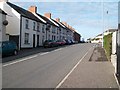
Terraced houses in Bar View
The "bar" in question is the bar of Dundrum Inner Bay.
Image: © Eric Jones
Taken: 7 Nov 2010
0.01 miles
2
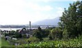
Dundrum village from Castle Hill
The Mourne Mountains can be seen on the right.
Image: © Eric Jones
Taken: 12 Sep 2010
0.01 miles
4
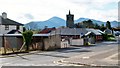
Church View, Dundrum
The church in question is the Anglican St Donard's Church. The Mournes form the background.
Image: © Eric Jones
Taken: 7 Nov 2010
0.03 miles

6
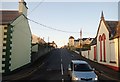
Dromara Road, Dundrum, at its junction with the A2 (Main Street)
The building on the right is the former National School.
Image: © Eric Jones
Taken: 16 Nov 2017
0.05 miles
7
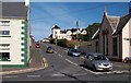
School Hill viewed from Main Street
This road leads to Bay View and on to the Dromara Road.
Image: © Eric Jones
Taken: 12 Sep 2010
0.06 miles
8
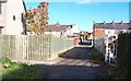
The north-eastern end of Derinilla Lane
The lane provides access to a number of terraces.
Image: © Eric Jones
Taken: 7 Nov 2010
0.06 miles
9
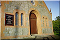
Dundrum Methodist Church
Dundrum Methodist Church
Image: © Ian Blair
Taken: 16 Jan 2004
0.07 miles
10
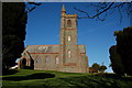
St Donard's, Dundrum
St Donard’s Dundrum occupies a slightly elevated site, partly surrounded by trees, at the Newcastle end of the main street. It was built in 1886. The architect was Sir Thomas Drew, the son of a Church of Ireland minister. There is no graveyard at the church.
Image: © Albert Bridge
Taken: 17 Feb 2007
0.07 miles