
IMAGES TAKEN NEAR TO
Fairview Park, DROMORE, BT25 1PN
Introduction
This page details the photographs taken nearby to Fairview Park, BT25 1PN by members of the Geograph project.
The Geograph project started in 2005 with the aim of publishing, organising and preserving representative images for every square kilometre of Great Britain, Ireland and the Isle of Man.

There are currently over 7.5m images from over14,400 individuals and you can help contribute to the project by visiting https://www.geograph.org.uk
Image Map
Images are licensed for reuse under creativecommons.org/licenses/by-sa/2.0
Notes
- Clicking on the map will re-center to the selected point.
- The higher the marker number, the further away the image location is from the centre of the postcode.
Image Listing (170 Images Found)
Images are licensed for reuse under creativecommons.org/licenses/by-sa/2.0
Image
Details
Distance
1
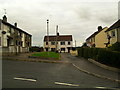
Fairview Park, Dromore (3)
The houses on Fairview Park. The houses to the left were constructed a number of years later than the rest - in line with the development of Wallace Park.
Image: © Dean Molyneaux
Taken: 13 Aug 2009
0.02 miles
2
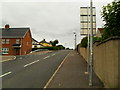
Fairview Park, Dromore
The view up the steep incline of Fairview Park - now the sole access to Wallace Park and Mourne Grange.
Image: © Dean Molyneaux
Taken: 13 Aug 2009
0.02 miles
3
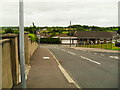
Fairview Park, Dromore (2)
The view down Fairview Park to Pound Hill. This Image is the view in the opposite direction.
Image: © Dean Molyneaux
Taken: 13 Aug 2009
0.04 miles
4
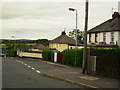
Drumbroneth New Cottages, Dromore
Originally there were 10 'cottages' - two have now disappeared under this: Image Drumbroneth is the townland in which they traditionally lie - although this design of house is more associated with rural areas, one must note that at the time of construction, they sat on the edge of the town.
Image: © Dean Molyneaux
Taken: 13 Aug 2009
0.04 miles
5
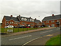
Wallace Court, Dromore
Built during 2007 and 2008. Off Fairview Park and adjacent to Pound Hill.
Image: © Dean Molyneaux
Taken: 13 Aug 2009
0.04 miles
7

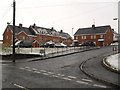
Pound Hill, Dromore (5)
Looking towards the town.
Image: © Dean Molyneaux
Taken: 3 Jan 2010
0.05 miles
8

Pound Hill, Dromore (2)
This is Pound Hill looking towards Dromara and Waringsford. The trees to the left will soon disappear as part of a new development.
Image: © Dean Molyneaux
Taken: 22 May 2008
0.05 miles
9
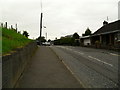
Pound Hill, Dromore (4)
Pound Hill looking towards the town approaching the crest of the hill.
Image: © Dean Molyneaux
Taken: 13 Aug 2009
0.06 miles
10

Pound Hill, Dromore (3)
Pound Hill - a short section of road which links the Diamond Road with Meeting Street - looking south. The Diamond Road commences in the distance - the road is busy normally, as it is the main link with the well populated rural areas around Skeagh and Waringsford.
Image: © Dean Molyneaux
Taken: 14 Jul 2009
0.06 miles