
IMAGES TAKEN NEAR TO
The Grove, BALLYNAHINCH, BT24 8HR
Introduction
This page details the photographs taken nearby to The Grove, BT24 8HR by members of the Geograph project.
The Geograph project started in 2005 with the aim of publishing, organising and preserving representative images for every square kilometre of Great Britain, Ireland and the Isle of Man.

There are currently over 7.5m images from over14,400 individuals and you can help contribute to the project by visiting https://www.geograph.org.uk
Image Map
Images are licensed for reuse under creativecommons.org/licenses/by-sa/2.0
Notes
- Clicking on the map will re-center to the selected point.
- The higher the marker number, the further away the image location is from the centre of the postcode.
Image Listing (11 Images Found)
Images are licensed for reuse under creativecommons.org/licenses/by-sa/2.0
Image
Details
Distance
1
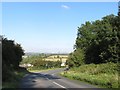
Grove Road on the south-western outskirts of Ballynahinch
Image: © Eric Jones
Taken: 29 Sep 2015
0.08 miles
2
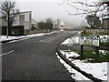
The Drumlins in Ballynahinch
A snowy scene in a quiet street
Image: © James Denham
Taken: 9 Feb 2009
0.09 miles
4
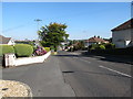
Grove Road descending into the town of Ballynahinch
Image: © Eric Jones
Taken: 29 Sep 2015
0.13 miles
5
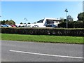
The club house of Spa Golf Club
This is located on Grove Road.
Image: © Eric Jones
Taken: 29 Sep 2015
0.16 miles
6
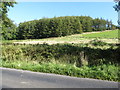
Edenavaddy Hill in the Montalto Demesne
This was the site of the Battle of Ballynahinch in which in 1798 a largely Presbyterian force of farmers and artisans rallying under the flag of the United Irishmen cause were defeated and massacred by Crown Forces. The Crown Forces were also mainly composed of Presbyterians recruited from the Clough-Downpatrick area and from Co Monaghan.
Image: © Eric Jones
Taken: 29 Sep 2015
0.18 miles
7
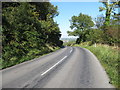
Grove Road approaching the south-western outskirts of Ballynahinch
Image: © Eric Jones
Taken: 29 Sep 2015
0.18 miles
8
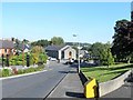
The junction of Grove Road and Dromore Road at Ballynahinch
Image: © Eric Jones
Taken: 29 Sep 2015
0.22 miles
9
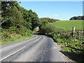
Grove Road running alongside the demesne of Montalto House
Image: © Eric Jones
Taken: 29 Sep 2015
0.23 miles
10
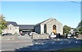
Edengrove Presbyterian Church, Dromore Road, Ballynahinch
The current church building dates from 1841. The history of the congregation dates back to the 1770s when it was set up as the 2nd Presbyterian church when a rift broke out in the congregation of the 1st Ballynahinch Presbyterian Church over what the secessionists saw as the appointment of "liberal and worldly ministers" In 1793 and again in 1829, in true Ulster fashion, there were further splits within the 2nd Presbyterian Church, with the separatists moving out to form the 3rd Ballynahinch Presbyterian Church.
Image: © Eric Jones
Taken: 29 Sep 2015
0.24 miles