
IMAGES TAKEN NEAR TO
Glenmount Park, NEWTOWNARDS, BT23 4QL
Introduction
This page details the photographs taken nearby to Glenmount Park, BT23 4QL by members of the Geograph project.
The Geograph project started in 2005 with the aim of publishing, organising and preserving representative images for every square kilometre of Great Britain, Ireland and the Isle of Man.

There are currently over 7.5m images from over14,400 individuals and you can help contribute to the project by visiting https://www.geograph.org.uk
Image Map
Images are licensed for reuse under creativecommons.org/licenses/by-sa/2.0
Notes
- Clicking on the map will re-center to the selected point.
- The higher the marker number, the further away the image location is from the centre of the postcode.
Image Listing (9 Images Found)
Images are licensed for reuse under creativecommons.org/licenses/by-sa/2.0
Image
Details
Distance
1
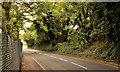
The Crawfordsburn Road, Newtownards (2)
See Image The Crawfordsburn Road as it climbs the steep hill, from Newtownards, towards Bangor Image The Glenvale nature reserve (which includes a small hydro-electric turbine with a 56kW peak output) is behind the fence on the left. Continue to Image
Image: © Albert Bridge
Taken: 30 Sep 2011
0.07 miles
2

Virginia creeper, Newtownards
Virginia creeper adorning a wall on the Crawfordsburn Road, just past the Mountain Road.
Image: © Albert Bridge
Taken: 30 Sep 2011
0.10 miles
3
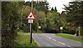
The Crawfordsburn Road, Newtownards (3)
See Image The road, further north, near the Tullynagardy Road Image (left) as it approaches the old 200ft contour. The “wild animals” sign refers to deer from the Clandeboye estate.
Image: © Albert Bridge
Taken: 30 Sep 2011
0.19 miles
4
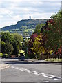
Scrabo Hill from Newtownards
Looking downhill towards the prominent Scrabo Hill and its monument.
Image: © Ian Paterson
Taken: 24 May 2010
0.20 miles
5
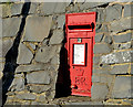
EIIR wall box, Newtownards (1)
EIIR wall box (BT23 368) at the Glenford Road end of Saratoga Avenue. Image shows the box in its setting.
Image: © Albert Bridge
Taken: 31 Oct 2013
0.22 miles
6
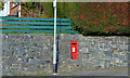
EIIR wall box, Newtownards (2)
See Image The same box in its setting at the Glenford Road end of Saratoga Avenue.
Image: © Albert Bridge
Taken: 31 Oct 2013
0.22 miles
7
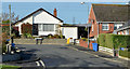
The Glenford Road, Newtownards
The north western end of a suburban road running from the Hardford Link.
Image: © Albert Bridge
Taken: 31 Oct 2013
0.23 miles
8
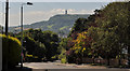
The Mountain Road, Newtownards (2)
The Mountain Road Image as it drops, through the suburbs, towards the centre of Newtownards. Killynether Wood and Scrabo Tower Image are in the background.
Image: © Albert Bridge
Taken: 27 Jul 2011
0.23 miles
9
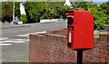
Letter box, Newtownards
Post-mounted EIIR letter box, at Whiteways, on the Mountain Road Image
Image: © Albert Bridge
Taken: 27 Jul 2011
0.25 miles