IMAGES TAKEN NEAR TO
Aspen Close, SWANLEY, BR8 7UB
Introduction
This page details the photographs taken nearby to Aspen Close, BR8 7UB by members of the Geograph project.
The Geograph project started in 2005 with the aim of publishing, organising and preserving representative images for every square kilometre of Great Britain, Ireland and the Isle of Man.

There are currently over 7.5m images from over14,400 individuals and you can help contribute to the project by visiting https://www.geograph.org.uk
Image Map (Loading...)


Getting Data...Please wait
Leaflet Map data © OpenStreetMap
Images are licensed for reuse under creativecommons.org/licenses/by-sa/2.0
Notes
- Clicking on the map will re-center to the selected point.
- The higher the marker number, the further away the image location is from the centre of the postcode.
Image Listing (45 Images Found)
Images are licensed for reuse under creativecommons.org/licenses/by-sa/2.0
Image
Details
Distance
4
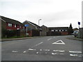
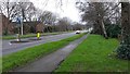
Russett Way at the junction of Leydenhatch Lane, Swanley
Image: © David Howard
Taken: 25 Nov 2012
0.05 miles
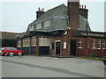
5
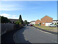
The Brethren Place of Worship and Meeting Rooms
On Leydenhatch Lane. Shown on maps as a church, but more of a factory than church.
Image: © David Anstiss
Taken: 3 Mar 2009
0.08 miles
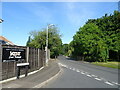
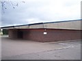
9
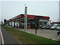
Petrol Station and Car Dealer, Swanley, Kent
Image: © Stacey Harris
Taken: 1 Mar 2009
0.16 miles