
IMAGES TAKEN NEAR TO
Rushey Green, LEWES, BN8 5JB
Introduction
This page details the photographs taken nearby to Rushey Green, BN8 5JB by members of the Geograph project.
The Geograph project started in 2005 with the aim of publishing, organising and preserving representative images for every square kilometre of Great Britain, Ireland and the Isle of Man.

There are currently over 7.5m images from over14,400 individuals and you can help contribute to the project by visiting https://www.geograph.org.uk
Image Map
Images are licensed for reuse under creativecommons.org/licenses/by-sa/2.0
Notes
- Clicking on the map will re-center to the selected point.
- The higher the marker number, the further away the image location is from the centre of the postcode.
Image Listing (26 Images Found)
Images are licensed for reuse under creativecommons.org/licenses/by-sa/2.0
Image
Details
Distance
1
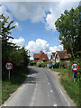
Potato Lane
Entering Ringmer at Rushy Green. The lane links the latter with Ashton Green.
Image: © Simon Carey
Taken: 25 Jul 2009
0.04 miles
2
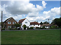
Rushy Green
A small hamlet that has now become a suburb of Ringmer. There is a small green next to the junctions of Potato Lane and Harrisons Lane with this view of the houses on the latter.
Image: © Simon Carey
Taken: 25 Jul 2009
0.05 miles
4
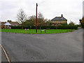
Rushy Green, Ringmer
Taken from Gote Lane looking east, to the left is Harrisons Lane to the right Potato Lane.
Image: © Simon Carey
Taken: 13 Nov 2005
0.07 miles
5
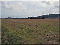
Farmland near Rushy Green
South of Ringmer
Image: © Paul Gillett
Taken: 10 Sep 2011
0.10 miles
6
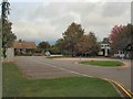
Ringmer Primary School
School Website http://www.ringmer-pri.e-sussex.sch.uk/
Image: © Paul Gillett
Taken: 10 Sep 2011
0.10 miles
7
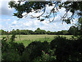
House Field
The name given to the field according to the 1839 tithe map. Viewed over the hedgerow from Potato Lane the roof just visible on the left belongs to Ringmer Primary School.
Image: © Simon Carey
Taken: 25 Jul 2009
0.12 miles
8
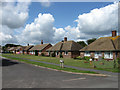
Mill Road
Bungalows built in the 1950s line the northern side of the road which links Shepherds Way with Springett Avenue.
Image: © Simon Carey
Taken: 25 Jul 2009
0.12 miles
9
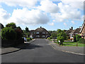
Shepherds Close
Small cul-de-sac off Shepherds Way whose houses and bungalows were built in the 1950s.
Image: © Simon Carey
Taken: 25 Jul 2009
0.13 miles
10
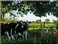
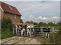
Curious cattle near Ringmer
The cattle are quite ordinary - they are exhibiting curiosity!
Image: © Robin Webster
Taken: 26 Jun 2011
0.14 miles