
IMAGES TAKEN NEAR TO
Town Littleworth, LEWES, BN8 4TB
Introduction
This page details the photographs taken nearby to Town Littleworth, BN8 4TB by members of the Geograph project.
The Geograph project started in 2005 with the aim of publishing, organising and preserving representative images for every square kilometre of Great Britain, Ireland and the Isle of Man.

There are currently over 7.5m images from over14,400 individuals and you can help contribute to the project by visiting https://www.geograph.org.uk
Image Map
Images are licensed for reuse under creativecommons.org/licenses/by-sa/2.0
Notes
- Clicking on the map will re-center to the selected point.
- The higher the marker number, the further away the image location is from the centre of the postcode.
Image Listing (14 Images Found)
Images are licensed for reuse under creativecommons.org/licenses/by-sa/2.0
Image
Details
Distance
1
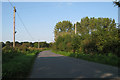
Town Littleworth Road, Barcombe, East Sussex
Image: © Oast House Archive
Taken: 19 Sep 2008
0.03 miles
2
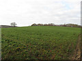
Banky Field
The name of the field according to Hamsey's 1840 tithe map that has been extended to include Image to the south. Both fields according to a 1752 estate map were part of Upper Alford's Wood a remnant of which survives as Four Acre Wood beyond the brow of the bank from which the field takes its name.
Image: © Simon Carey
Taken: 2 Jan 2011
0.07 miles
3
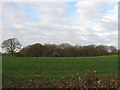
Hollow Field
The name of the field according to Hamsey's 1840 tithe map that has been extended to include Image to the north. Both fields were originally part of Upper Alford's Wood according to a 1752 estate map and had been grubbed by 1827. The remnants of that wood survive in Four Acre Wood that can be seen at the end of the field and Beachy Wood which lies to the north.
Image: © Simon Carey
Taken: 2 Jan 2011
0.09 miles
4
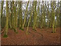
Beachy Wood
Originally known as Upper Alford's Wood in a 1752 estate map and Hamsey's 1840 tithe map. Much of the original wood was grubbed in the early 19th century leaving two remnants; Beachy Wood and Four Acre Wood as a survivor. Both were known by the name on the 1875 OS map.
Image: © Simon Carey
Taken: 2 Jan 2011
0.13 miles
5
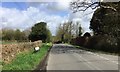
Town Littleworth Road
Looking North along Town Littleworth Road.
Image: © Chris Thomas-Atkin
Taken: 16 Apr 2018
0.13 miles
6
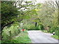
Junction of Deadmanstree Hill and road to Barcombe Cross
Image: © nick macneill
Taken: 30 Apr 2010
0.16 miles
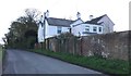
8
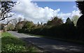
Bottom of Deadmantree Hill
Looking towards a property and the road junction at the bottom of Deadmantree Hill.
Image: © Chris Thomas-Atkin
Taken: 16 Apr 2018
0.17 miles
9
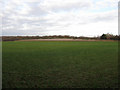
Six Acres
The name of the field according to the 1840 tithe map that has been extended to include House Field which lies behind the house called Mount Pleasant on the right and Image to the left down the slope. Four Acre Wood is in the background.
Image: © Simon Carey
Taken: 2 Jan 2011
0.17 miles
10
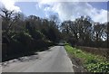
Deadmantree Hill
Looking South towards Deadmantree Hill.
Image: © Chris Thomas-Atkin
Taken: 16 Apr 2018
0.19 miles