
IMAGES TAKEN NEAR TO
Plumpton Lane, LEWES, BN7 3AH
Introduction
This page details the photographs taken nearby to Plumpton Lane, BN7 3AH by members of the Geograph project.
The Geograph project started in 2005 with the aim of publishing, organising and preserving representative images for every square kilometre of Great Britain, Ireland and the Isle of Man.

There are currently over 7.5m images from over14,400 individuals and you can help contribute to the project by visiting https://www.geograph.org.uk
Image Map
Images are licensed for reuse under creativecommons.org/licenses/by-sa/2.0
Notes
- Clicking on the map will re-center to the selected point.
- The higher the marker number, the further away the image location is from the centre of the postcode.
Image Listing (37 Images Found)
Images are licensed for reuse under creativecommons.org/licenses/by-sa/2.0
Image
Details
Distance
1
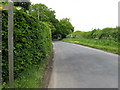
Looking north along Plumpton Lane
Just over a kilometre north from here is Plumpton Racecourse.
Image: © Dave Spicer
Taken: 20 May 2009
0.02 miles
2
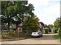
Fairhaven
Small cul-de-sac off Plumpton Lane to the north of the village of Plumpton.
Image: © Simon Carey
Taken: 4 Oct 2009
0.03 miles
3
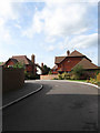
Westcroft
Small cul-de-sac off Plumpton Lane to the north of the village of Plumpton. A recent development built on the site of a former depot.
Image: © Simon Carey
Taken: 4 Oct 2009
0.05 miles
4
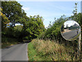
Plumpton Lane
The lane forms the spine of the parish linking Plumpton to Plumpton Green. Originally a droving road between the pastures on the Downs and those in the Weald.
Image: © Simon Carey
Taken: 4 Oct 2009
0.08 miles
5
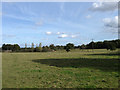
School Field
The name of the field according to the 1839 tithe map. The hedgerow at the end of the field marks the parish boundary between Plumpton and East Chiltington whilst to the left the embankment conceals Novington Sand Pit.
Image: © Simon Carey
Taken: 4 Oct 2009
0.08 miles
6
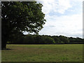
Redgate Field
The name of the field according to the 1839 tithe map. Redgate Field Shaw is the wood on the far side of the field that also forms the parish boundary between Plumpton and East Chiltington.
Image: © Simon Carey
Taken: 4 Oct 2009
0.09 miles
8
Weather vane in rear garden
On Plumpton Lane.
Image: © Dave Spicer
Taken: 20 May 2009
0.11 miles
9
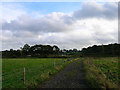
Quarry, Plumpton Lane
Looking east from the lane, the overgrown mounds of spoil can be seen either side and the lake can be glimpsed just behind. Unfortunately, this is as close as public access allows.
Image: © Simon Carey
Taken: 26 Oct 2005
0.11 miles
10
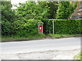
Postbox with a fringe
Next to footpath from Plumpton Lane
Image: © Dave Spicer
Taken: 20 May 2009
0.13 miles