
IMAGES TAKEN NEAR TO
North Way, LEWES, BN7 1DT
Introduction
This page details the photographs taken nearby to North Way, BN7 1DT by members of the Geograph project.
The Geograph project started in 2005 with the aim of publishing, organising and preserving representative images for every square kilometre of Great Britain, Ireland and the Isle of Man.

There are currently over 7.5m images from over14,400 individuals and you can help contribute to the project by visiting https://www.geograph.org.uk
Image Map
Images are licensed for reuse under creativecommons.org/licenses/by-sa/2.0
Notes
- Clicking on the map will re-center to the selected point.
- The higher the marker number, the further away the image location is from the centre of the postcode.
Image Listing (32 Images Found)
Images are licensed for reuse under creativecommons.org/licenses/by-sa/2.0
Image
Details
Distance
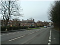
2
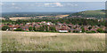
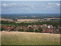
West of Lewes
See more sizes for wider panorama.
Image: © Oast House Archive
Taken: 5 Aug 2012
0.15 miles
6
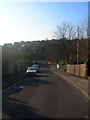
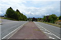
Christie Road
Small suburban road linking Wallands Park to Nevill Road, the A275.
Image: © Simon Carey
Taken: 29 Dec 2008
0.20 miles
7
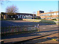
Wallands Primary School
Serving the Wallands Park and Nevill Park areas of Lewes.
Image: © Simon Carey
Taken: 29 Dec 2008
0.20 miles
10
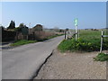
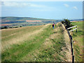
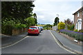
Private road and public footpath to the old Lewes racecourse
Also at the top of rise is the site of the Battle of Lewes in 1264.
Image: © Dave Spicer
Taken: 15 Mar 2012
0.21 miles