
IMAGES TAKEN NEAR TO
Brighton Road, HASSOCKS, BN6 9PF
Introduction
This page details the photographs taken nearby to Brighton Road, BN6 9PF by members of the Geograph project.
The Geograph project started in 2005 with the aim of publishing, organising and preserving representative images for every square kilometre of Great Britain, Ireland and the Isle of Man.

There are currently over 7.5m images from over14,400 individuals and you can help contribute to the project by visiting https://www.geograph.org.uk
Image Map
Images are licensed for reuse under creativecommons.org/licenses/by-sa/2.0
Notes
- Clicking on the map will re-center to the selected point.
- The higher the marker number, the further away the image location is from the centre of the postcode.
Image Listing (44 Images Found)
Images are licensed for reuse under creativecommons.org/licenses/by-sa/2.0
Image
Details
Distance
1
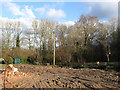
Wood Cottage No More
Two former 19th century cottages at the southern end of Hassocks next to Bonny's Wood have been demolished in the last month or so.
Image: © Simon Carey
Taken: 1 Jan 2010
0.01 miles
2
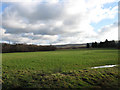
Twelve Acre Mead
The name of the field according to the 1838 tithe map which has lost part of its land to Hassocks Football Club whose ground is beyond the bushes to the left. It may also become the site of a 'rambler's rest' lodging a sort of walkers motel for those using the nearby South Downs. A planning application was put in during April 2008 and agreed in principle though I'm not sure what has become of it since.
Image: © Simon Carey
Taken: 1 Jan 2010
0.08 miles
3
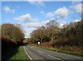
Brighton Road
The A273 as it travels through Ockenden's Wood to the left and Bonny's Wood to the right with the small town of Hassocks just beyond.
Image: © Simon Carey
Taken: 1 Jan 2010
0.09 miles
4
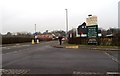
Entrance to South Downs Nursery, Hassocks
Image: © nick macneill
Taken: 17 Feb 2012
0.14 miles
5
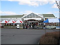
South Downs Nursery & Heritage Centre entrance
Visit the Heritage Centre at this garden centre where you can see many vintage exhibits giving an insight into days gone by.
Image: © Josie Campbell
Taken: 6 Apr 2013
0.14 miles
6
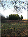
Wood Field (1)
The name of the field according to the 1838 tithe map which in fact was once part of a much larger field to the east but was separated by the construction of the London-Brighton railway which was built in 1840.
Image: © Simon Carey
Taken: 1 Jan 2010
0.15 miles
7
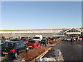
South Downs Nurseries
Formerly Clayton Nurseries which had been operating on the site since 1922. The garden centre includes a cafe and a heritage centre displaying implements from bygone agricultural practices as well as growing vintage varieties of Sussex fruits.
Image: © Simon Carey
Taken: 20 Dec 2009
0.16 miles
8
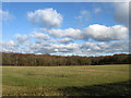
Five Acres
The name of the field according to the 1838 tithe map. Ockenden's Wood is at the northern end of the field.
Image: © Simon Carey
Taken: 1 Jan 2010
0.18 miles
9
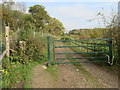
Track to Lag Wood
Gate on public footpath 29C.
Image: © Peter Holmes
Taken: 31 Oct 2015
0.18 miles
10
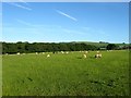
Little Ridge
The name of the field according to Clayton's 1838 tithe map and the opposite view of Image Ockenden's Wood is on the left whilst the Jack and Jill windmills can be seen in the distance on Clayton Hill.
Image: © Simon Carey
Taken: 7 Jun 2014
0.18 miles