
IMAGES TAKEN NEAR TO
Meadow Close, HOVE, BN3 6QQ
Introduction
This page details the photographs taken nearby to Meadow Close, BN3 6QQ by members of the Geograph project.
The Geograph project started in 2005 with the aim of publishing, organising and preserving representative images for every square kilometre of Great Britain, Ireland and the Isle of Man.

There are currently over 7.5m images from over14,400 individuals and you can help contribute to the project by visiting https://www.geograph.org.uk
Image Map
Images are licensed for reuse under creativecommons.org/licenses/by-sa/2.0
Notes
- Clicking on the map will re-center to the selected point.
- The higher the marker number, the further away the image location is from the centre of the postcode.
Image Listing (30 Images Found)
Images are licensed for reuse under creativecommons.org/licenses/by-sa/2.0
Image
Details
Distance
1
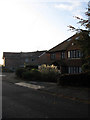
Houses, Meadow Close
The southern tip of the cul-de-sac just protrudes into this square.
Image: © Simon Carey
Taken: 25 Oct 2009
0.06 miles
2
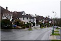
Tongdean Rd
Tongdean Rd is a quiet residential road in a well to do suburb of Brighton. The road runs from Dyke Road Avenue to Shirley Drive.
Image: © Nigel Mykura
Taken: 13 Feb 2011
0.07 miles
3
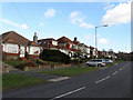
Shirley Drive
Another long residential road connecting Old Shoreham Road, the A270, in the south, and Woodland Drive in the north. As a continuation of The Drive it is another rat run towards the Dyke Road junction with the A27 bypass. The southern part of the road was developed from the 1920s though the rest further north was added intermittently as the variety of styles attest.
Image: © Simon Carey
Taken: 18 Jan 2009
0.09 miles
4
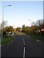
Shirley Drive
Arterial road that links Old Shoreham Road, the A270, and Woodland Drive. This section is north of the crossroads with Tredcroft Road.
Image: © Simon Carey
Taken: 25 Oct 2009
0.10 miles
5
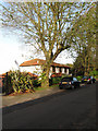
House, Tongdean Avenue
Tongdean Avenue is one of the more exclusive and upmarket roads in Hove as evidenced by both houses and cars.
Image: © Simon Carey
Taken: 25 Oct 2009
0.12 miles
6
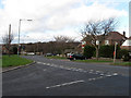
Shirley Drive
Taken from the junction with Shirley Avenue. Another long residential road connecting Old Shoreham Road, the A270, in the south, and Woodland Drive in the north. As a continuation of The Drive it is another rat run towards the Dyke Road junction with the A27 bypass.
Image: © Simon Carey
Taken: 18 Jan 2009
0.12 miles
7
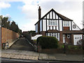
Driveway to Anderton, Shirley Avenue
Rather long driveway to the residence which has been developed in the gap behind the house to the right and those in Shirley Drive, out of picture to the left.
Image: © Simon Carey
Taken: 18 Jan 2009
0.13 miles
8
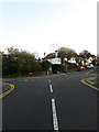
Tredcroft Road
Residential road linking Woodruff Avenue with Tongdean Avenue. Here climbing the hill towards the latter as it crosses Shirley Drive.
Image: © Simon Carey
Taken: 25 Oct 2009
0.13 miles
9
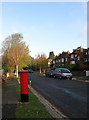
Postbox, Tongdean Avenue
Near the junction with Tredcroft Road. Tongdean Avenue is one of the most exclusive and upmarket roads in Hove though it is often used as a training ground for learner drivers planning on taking their test in Hove. This postbox will be well known for many as it is used as a point of reference when attempting the reserving around the corner manoeuvre, particularly as the junction with Tredcroft Road is very tight.
Image: © Simon Carey
Taken: 25 Oct 2009
0.15 miles
10
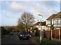
Tredcroft Road
Residential road linking Tongdean Avenue to Woodruff Avenue. The former downland drops away here allowing for tremendous views on clear days. The two chimneys of the British Engineerium and Shoreham Power Station can be seen in the distance whilst on a good day the Isle of Wight is visible from here too.
Image: © Simon Carey
Taken: 25 Oct 2009
0.15 miles