
IMAGES TAKEN NEAR TO
Hill Road, BRIGHTON, BN2 8AU
Introduction
This page details the photographs taken nearby to Hill Road, BN2 8AU by members of the Geograph project.
The Geograph project started in 2005 with the aim of publishing, organising and preserving representative images for every square kilometre of Great Britain, Ireland and the Isle of Man.

There are currently over 7.5m images from over14,400 individuals and you can help contribute to the project by visiting https://www.geograph.org.uk
Image Map
Images are licensed for reuse under creativecommons.org/licenses/by-sa/2.0
Notes
- Clicking on the map will re-center to the selected point.
- The higher the marker number, the further away the image location is from the centre of the postcode.
Image Listing (55 Images Found)
Images are licensed for reuse under creativecommons.org/licenses/by-sa/2.0
Image
Details
Distance
1
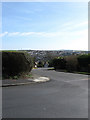
Founthill Road
Viewed from the junction with Westmeston Avenue with eastern part of Saltdean in the distance.
Image: © Simon Carey
Taken: 15 Mar 2009
0.07 miles
2
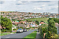
Founthill Avenue
Residential road dropping down towards Saltdean Park. In the far right background is the former Grand Ocean Hotel, now converted to flats.
Image: © Ian Capper
Taken: 20 Sep 2022
0.10 miles
3
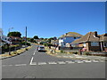
Founthill Avenue, Saltdean
Founthill Avenue is a residential road in Saltdean, on the Sussex coast near Brighton.
Image: © Malc McDonald
Taken: 24 Jul 2022
0.12 miles
4
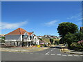
Founthill Avenue, Saltdean
Founthill Avenue is a residential road in Saltdean, on the Sussex coast near Brighton.
Image: © Malc McDonald
Taken: 24 Jul 2022
0.12 miles
5
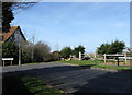
Right Angled Bend
Where Cranleigh Avenue, Rottingdean meets Founthill Road, Saltdean. The boundary between the two runs down the eastern side of Cranleigh Avenue.
Image: © Simon Carey
Taken: 15 Mar 2009
0.14 miles
6
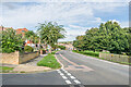
Arundel Drive West
Residential road forming the western perimeter of Saltdean Park.
Image: © Ian Capper
Taken: 20 Sep 2022
0.17 miles
7
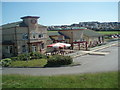
Saltdean Tavern
Crown Carveries restaurant located at the back of Saltdean Lido
Website: http://www.crowncarveries.co.uk/find-us/Thesaltdeantavern.html
Image: © Paul Gillett
Taken: 30 May 2009
0.17 miles
8
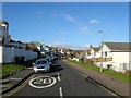
Chichester Drive West, Saltdean
One of two roads, Arundel Drive being the other, that runs in a large oval around the base of what was Saltdean Bottom. It was laid out in the 1920s but not completely developed until the 1960s.
Image: © Simon Carey
Taken: 28 Jan 2016
0.17 miles
9
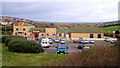
The Saltdean Tavern, Saltdean
Built in Saltdean Park to the rear of the famous Lido, this pub is pretty hideous in design but, to be honest I had an excellent Christmas lunch here. Saltdean Vale and the South Downs can be seen behind.
Image: © Kevin Gordon
Taken: 8 Dec 2008
0.17 miles
10
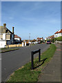
Grand Crescent
Post war estate built on the boundary with Saltdean. The road stretches from Cranleigh Avenue to Lenham Road West.
Image: © Simon Carey
Taken: 15 Mar 2009
0.18 miles