
IMAGES TAKEN NEAR TO
Chilver Bridge Road, POLEGATE, BN26 6UX
Introduction
This page details the photographs taken nearby to Chilver Bridge Road, BN26 6UX by members of the Geograph project.
The Geograph project started in 2005 with the aim of publishing, organising and preserving representative images for every square kilometre of Great Britain, Ireland and the Isle of Man.

There are currently over 7.5m images from over14,400 individuals and you can help contribute to the project by visiting https://www.geograph.org.uk
Image Map
Images are licensed for reuse under creativecommons.org/licenses/by-sa/2.0
Notes
- Clicking on the map will re-center to the selected point.
- The higher the marker number, the further away the image location is from the centre of the postcode.
Image Listing (49 Images Found)
Images are licensed for reuse under creativecommons.org/licenses/by-sa/2.0
Image
Details
Distance
1
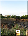
Empty Pit, Arlington Water Treatment Works
At least you can see how deep the water is supposed to be now.
Image: © Simon Carey
Taken: 3 Jul 2009
0.05 miles
2
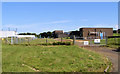
Treatment Works near Arlington Reservoir
The Weald Way passes between these buildings and the nearby reservoir.
Image: © Kevin Gordon
Taken: 30 Jun 2008
0.08 miles
3

Cows in the Long Grass
Late evening munching near Stapley's just off the Weald Way.
Image: © Simon Carey
Taken: 3 Jul 2009
0.09 miles
4
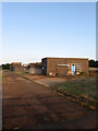
Arlington Water Treatment Works
Built in 1971 with the nearby reservoir and viewed from the Weald Way.
Image: © Simon Carey
Taken: 3 Jul 2009
0.09 miles
5
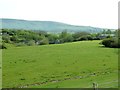
Field between Arlington Reservoir and the Cuckmere River
At the far end of the field is a waterworks controlling the flow of the river.
Image: © Dave Spicer
Taken: 7 May 2012
0.12 miles
6
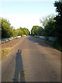
Chilver Bridge
Taking Chilver Bridge Road across the new cut of the Cuckmere River. The older bridge bearing that name was few hundred yards to the west and was made redundant when Arlington Reservoir was built over a loop of the river.
Image: © Simon Carey
Taken: 3 Jul 2009
0.12 miles
7
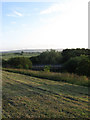
Chilver Bridge
The most recent one built over the new cut constructed in 1971 when an old loop of the Cuckmere was turned into Arlington Reservoir.
Image: © Simon Carey
Taken: 3 Jul 2009
0.12 miles
8
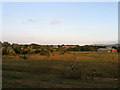
Pumping Station, Arlington Reservoir
On the right viewed from the dam wall with the water treatment works beyond the river to the centre.
Image: © Simon Carey
Taken: 3 Jul 2009
0.12 miles
9
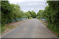
Bridge over the Cuckmere River
Towards Arlington.
Image: © Julian P Guffogg
Taken: 4 Jun 2012
0.12 miles
10
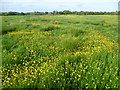
Buttercup filled meadow on the Wealdway
The Wealdway passes through the churchyard of St Pancras at Arlington ahead. The Wealdway is 80 miles long and runs from the River Thames at Gravesend to the English Channel at Eastbourne via Tonbridge, the Ashdown Forest and the South Downs. Here it is on its way from Berwick.
The nave of St Pancras Church is Anglo-Saxon. The west tower is Early English.
Image: © Marathon
Taken: 30 May 2015
0.13 miles