
IMAGES TAKEN NEAR TO
Ewhurst Road, BRIGHTON, BN2 4AJ
Introduction
This page details the photographs taken nearby to Ewhurst Road, BN2 4AJ by members of the Geograph project.
The Geograph project started in 2005 with the aim of publishing, organising and preserving representative images for every square kilometre of Great Britain, Ireland and the Isle of Man.

There are currently over 7.5m images from over14,400 individuals and you can help contribute to the project by visiting https://www.geograph.org.uk
Image Map
Images are licensed for reuse under creativecommons.org/licenses/by-sa/2.0
Notes
- Clicking on the map will re-center to the selected point.
- The higher the marker number, the further away the image location is from the centre of the postcode.
Image Listing (148 Images Found)
Images are licensed for reuse under creativecommons.org/licenses/by-sa/2.0
Image
Details
Distance
5

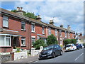
Ewhurst Road, Brighton
A residential road that runs between Coombe Road and Bear Road that was developed in the 1900s.
Image: © Simon Carey
Taken: 11 Oct 2015
0.05 miles
6
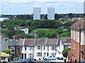
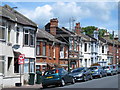
Ladysmith Road / Ewhurst Road, BN2
Looking towards Image (photographed by Paul Gillett).
Image: © Mike Quinn
Taken: 25 Jun 2014
0.06 miles
7
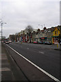
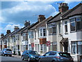
Coombe Terrace, Lewes Road
Probably about the only time the terrace can be viewed without a multitude of parked cars obscuring the view. Late Victorian terraced housing on the A270.
Image: © Simon Carey
Taken: 25 Dec 2008
0.07 miles
8

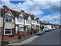
Mafeking Road, Brighton
A residential road that runs between Coombe Road and Ladysmith Road. Developed in the early 1910s like most roads on the estate it is named after a connection with the Boer War.
Image: © Simon Carey
Taken: 11 Oct 2015
0.07 miles
9
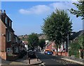
Coombe Road, Brighton
A residential road that links Lewes Road to Bevendean Road and as such is a bit of a rat run as those using this route avoid the Vogue Gyratory. The road was developed in stages with the western end in view completed during the 1900s and the eastern end further up the hill not finished until the early 1920s.
Image: © Simon Carey
Taken: 11 Oct 2015
0.07 miles
10
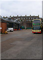
Lewes Road Bus Depot
Originally built as a tram depot between 1905-39 before becoming a trolley bus depot until 1962 and finally a bus depot which it remains today.
Image: © Simon Carey
Taken: 25 Dec 2008
0.07 miles